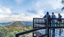
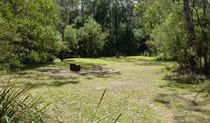
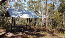
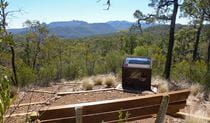
Winangabaa – Information Bay
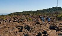
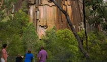
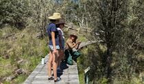
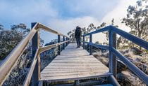
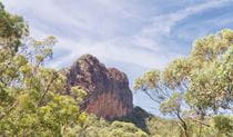
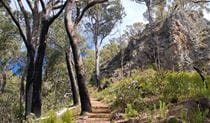
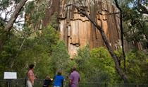
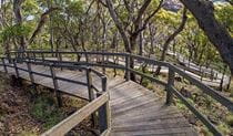
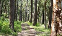
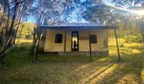
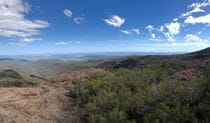
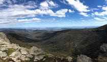
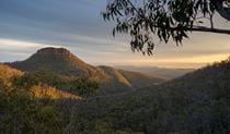
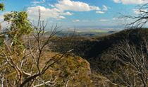
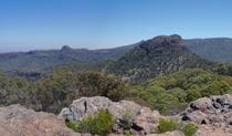
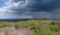
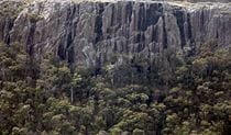
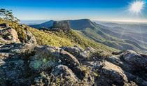
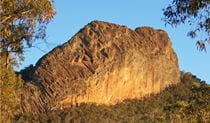
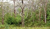
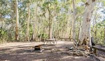
Deriah Aboriginal Area
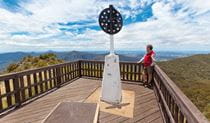
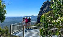
What's nearby
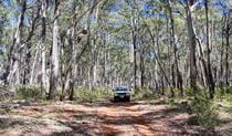
Nearby things to do


Nearby camping and accommodation
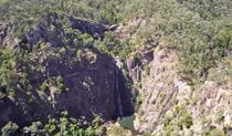
Nearby parks


Google Street View Trekker
Using Google Street View Trekker, we've captured imagery across a range of NSW national parks and attractions. Get a bird's eye view of these incredible landscapes before setting off on your own adventure.


Park info
- in Deriah Aboriginal Area in the Country NSW region
Deriah Aboriginal Area is always open but may have to close at times due to severe weather or extreme fire danger.