Overview
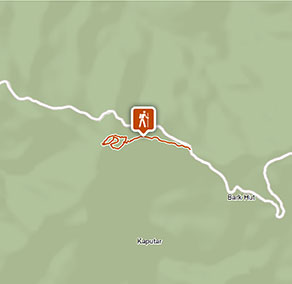
Mount Coryah walking track offers scenic views of Euglah Rock and great birdwatching opportunities within Mount Kaputar National Park in the NSW North West slopes.
- Where
- Mount Kaputar National Park in Country NSW
- Distance
- 2km loop
- Time suggested
- 1 - 2hrs
- Grade
- Grade 4
- Opening times
Mount Coryah walking track is always open, but may need to close at times during snow/ice events.
- What to
bring - Drinking water, hat, sunscreen
- Please note
- This walk involves a steep uphill climb with many steps, so it’s important to have a good level of fitness and sturdy walking shoes.
- The weather in this area can be extreme and unpredictable, so please ensure you’re well prepared for your visit.
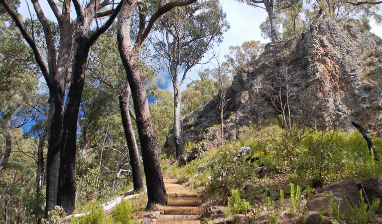
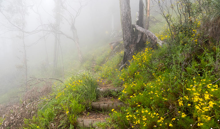
Mount Coryah walking track begins at Coryah Gap carpark and climbs steeply up the stepped ridge. The terraces were formed by a series of lava flows, each new one covering the terraces beneath it.
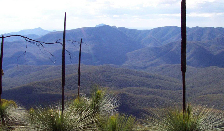
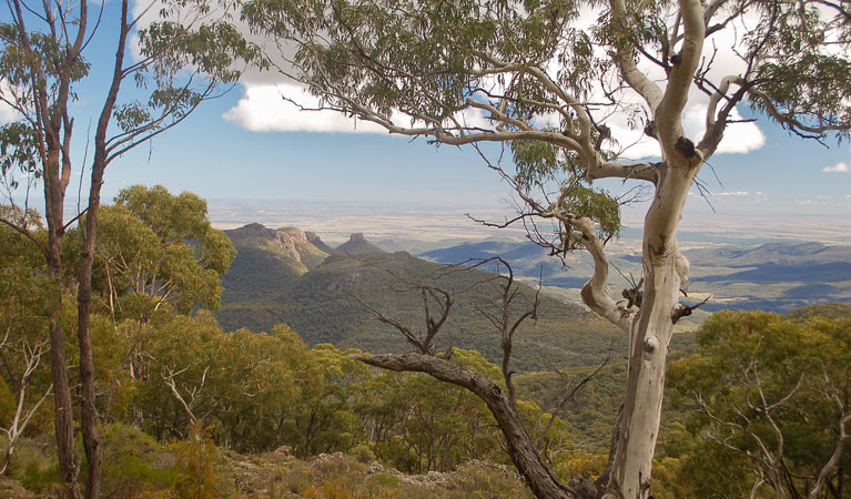
At the base of the cliffs follow the track around to the left. The track climbs to the top terrace, evidence of the most recent eruption, and then circles around the summit of Mount Coryah in an anti-clockwise direction, providing views to the south, east and north.
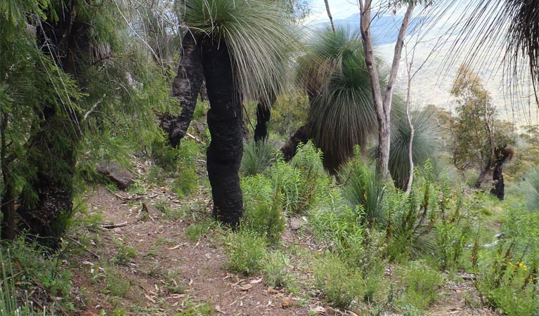
From the lookout the return track passes under the northern base of the summit through an impressive stand of grass trees. It then loops back to the track junction at the base of the cliffs. The loop track is very narrow, it follows the cliff edge and can be slippery when wet. If you wish to avoid the cliff edge or it has recently rained you may wish to miss the loop and return the way you came from the lookout.
Also see
-
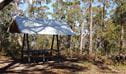
Coryah Gap picnic area
Coryah Gap picnic area is near Mount Coryah walking track in Mount Kaputar National Park. It’s a great place for a snack before you tackle this track around Mount Coryah’s summit.
Google Street View Trekker
Using Google Street View Trekker, we've captured imagery across a range of NSW national parks and attractions. Get a bird's eye view of these incredible landscapes before setting off on your own adventure.

General enquiries
- National Parks Contact Centre
- 7am to 7pm daily
- 1300 072 757 (13000 PARKS) for the cost of a local call within Australia excluding mobiles
- parks.info@environment.nsw.gov.au
Operated by
- Narrabri office
- Monday to Friday, 8.30am to 4.30pm.
- 02 6792 7300
- npws.barwon@environment.nsw.gov.au
- Level 1, 100 Maitland Street, Narrabri NSW 2390. Accessible via Dewhurst Street.
Park info
- in Mount Kaputar National Park in the Country NSW region
Mount Kaputar National Park is always open but may have to close at times due to poor weather or fire danger.
What's nearby:
Things to do (34)
- 4WD touring (1)
- Aboriginal culture (3)
- Birdwatching and wildlife encounters (8)
- Cycling (3)
- Educational activities (1)
- Historic heritage (2)
- Picnics and barbecues (5)
- Road trips and car/bus tours (3)
- Sightseeing (22)
- Swimming (1)
- Walking (18)
- Waterfalls (2)
- Wildflowers (seasonal) (6)