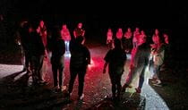
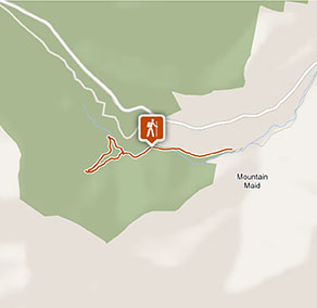
Hidden Treasure track
Copeland Tops State Conservation Area
What's nearby
Nearby walking tracks
-
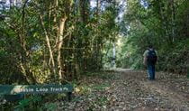
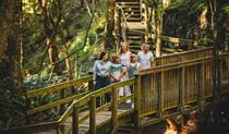
Basin loop track
Basin loop track continues from Hidden Treasure track to form a longer walk with scenic views of Copeland Tops State Conservation Area via historic Old Copeland Road.
Nearby things to do


Nearby parks
-
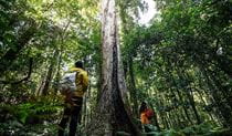
Barrington Tops National Park
Immerse yourself in the World Heritage-listed Gondwana Rainforests of Barrington Tops National Park. Easy walks, overnight hikes, great picnic, fishing and camping spots await.
-
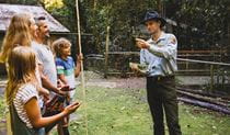
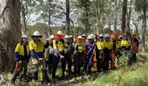
Copeland Tops State Conservation Area
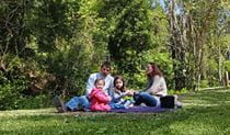
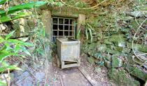
In the foothills of Barrington Tops, Copeland Tops State Conservation Area offers rainforest walking tracks, picnic areas, birdwatching and guided tours at a historic mine that are great for school excursions.
Google Street View Trekker
Using Google Street View Trekker, we've captured imagery across a range of NSW national parks and attractions. Get a bird's eye view of these incredible landscapes before setting off on your own adventure.

Park info
- in Copeland Tops State Conservation Area in the North Coast region
Copeland Tops State Conservation Area is always open but may have to close at times due to poor weather or fire danger.