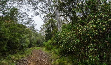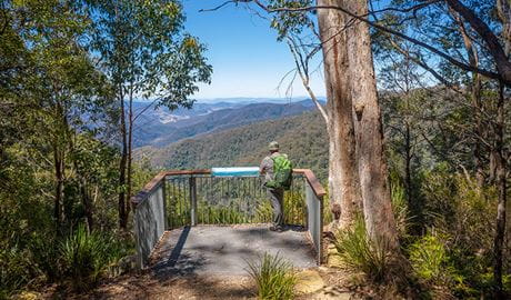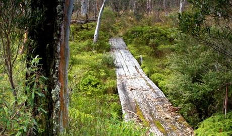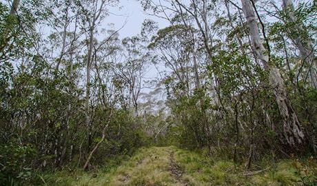
Aeroplane Hill walking track
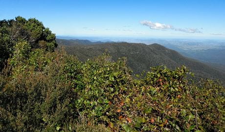
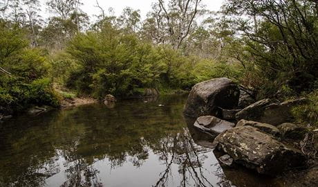
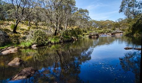
Aeroplane Hill walking track offers scenic views, wildlife, and wetlands in the sub-alpine region of Barrington Tops National Park, between Scone and Gloucester.
- Distance
- 6km one-way
- Time
- 1hr 30min - 2hrs 30min
- Grade
- Grade 4
- Where
- Barrington Tops National Park in North Coast, Country NSW