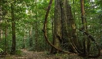
Potoroo Falls picnic area
Tapin Tops National Park
What's nearby
Nearby things to do
Nearby camping and accommodation
-
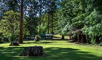
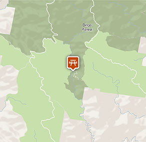
Dingo Tops campground
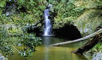
Dingo Tops campground is a great base to explore Tapin Tops National Park, with easy access to the park’s waterfalls and creeks and birdwatching opportunities.
Nearby parks
-
Tapin Tops National Park
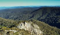
A few hours drive north of Sydney, Tapin Tops National Park lies on a spectacular section of the Great Eastern Escarpment, high up in the mountains just northwest of Wingham.
-

Bugan Nature Reserve
Google Street View Trekker
Using Google Street View Trekker, we've captured imagery across a range of NSW national parks and attractions. Get a bird's eye view of these incredible landscapes before setting off on your own adventure.

Park info
- in Tapin Tops National Park in the North Coast region
Tapin Tops National Park is always open but may have to close at times due to poor weather or fire danger.