Mullion Range State Conservation Area
Open, check current alerts
Visitor info
All the practical information you need to know about Mullion Range State Conservation Area.
Getting there and parking
Get driving directions
From Orange:
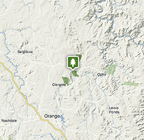
- To reach the Central Mines Trail carpark which is also the carpark for The Falls, travel north east along Ophir Road for 14km.
- To access the Fourth Crossing Picnic Area which marks the start of the Historic Water Race walking track, travel a further 4km along Ophir Road.
Park entry points
- Central Mines trail carpark See on map
Parking
- Fourth Crossing picnic area See on map
Road quality
- Sealed roads
Vehicle access
- 2WD vehicles
Weather restrictions
- All weather
Parking
Gravel carparks
By bike
Check out the Bicycle information for NSW website for more information.
Best times to visit
There are lots of great things waiting for you at Mullion Range State Conservation Area. Here are some of the highlights.
Autumn
The cooler months are a great time for enjoying bushwalks, birdwatching and fishing.
Spring
Enjoy blooming wildflowers at Fourth Crossing picnic area. The perfume of wattles is stunning here.
Summer
Cool off with a swim in Summer Hill Creek, or go trout fishing.
Winter
The Falls are particularly striking when there are high level water flows after heavy rainfall.
Weather, temperature and rainfall
Summer temperature
Average
12°C and 28°C
Highest recorded
38.3°C
Winter temperature
Average
2°C and 13°C
Lowest recorded
-5.6°C
Rainfall
Wettest month
August
Driest month
April
The area’s highest recorded rainfall in one day
98.6mm
Facilities
Maps and downloads
Prohibited
Camp fires and solid fuel burners
Pets
Pets and domestic animals (other than certified assistance animals) are not permitted. Find out which regional parks allow dog walking and see the pets in parks policy for more information.
Smoking
NSW national parks are no smoking areas.
Contact
- in the Country NSW region
Mullion Range State Conservation Area is always open but may have to close at times due to poor weather or fire danger.
-
-
Bathurst office
02 6332 7640
02 6332 7680 To contact the KARST Conservation Unit in this office.
Contact hours: Monday to Friday, 8.30am to 4.30pm. - Level 2, 203-209 Russell Street, Bathurst NSW 2795
-
Email: npws.centralwest@environment.nsw.gov.au
-
Bathurst office
Nearby towns
Orange (14 km)
The bustling city of Orange, with its many cafes, restaurants and shopping opportunities, has something for everyone, plus there's a huge range of places to stay. The real highlight is the town's food and wine, so bring your thirst and your appetite.
Molong (48 km)
Follow the heritage walking tour of Molong in Country NSW to see the many fine 19th-century buildings. Wander through craft shops or art galleries and visit nearby historic villages such as Yeoval, Cumnock and Cudal.
Bathurst (65 km)
Within a 70-km radius of Bathurst are the spectacular limestone cave systems -Abercrombie and Jenolan caves - which you can explore safely on guided tours.