Overview
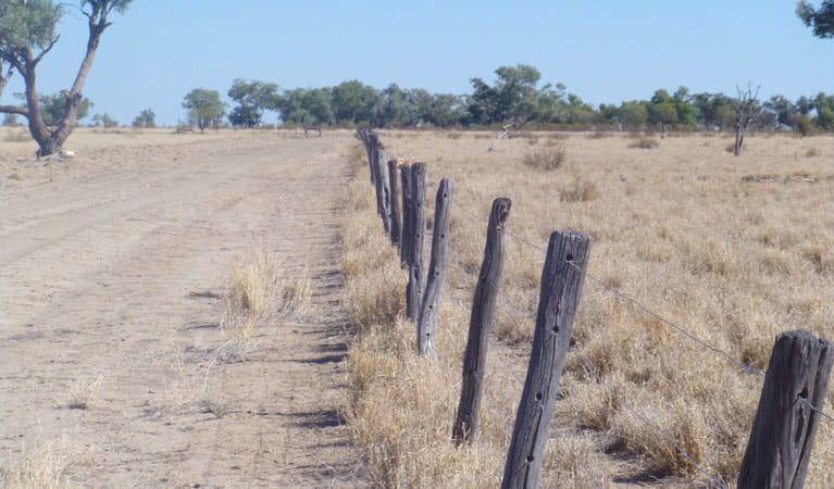
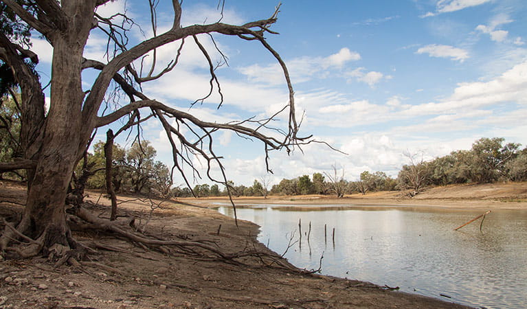
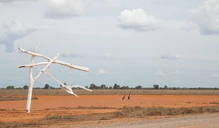
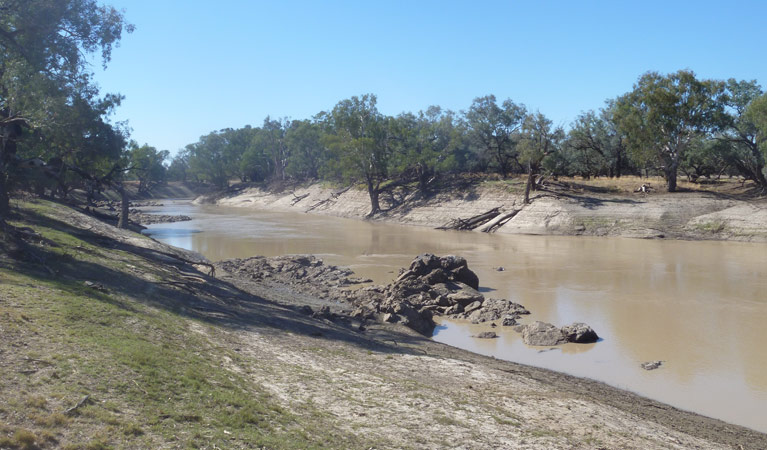
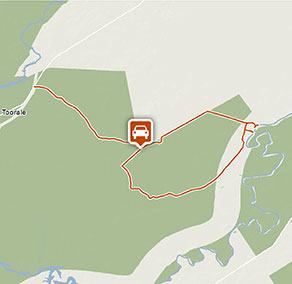
Darling River drive showcases the natural beauty of meandering Darling River as well as Toorale National Park and State Conservation Area – perfect for 4WD adventurers and independent travellers.
- Where
- Toorale National Park in Outback NSW
- Distance
- 41km loop
- Time suggested
- 1hr 30min
- Grade
- Medium
- What to
bring - Drinking water
- Please note
- Remember to take your binoculars if you want to go birdwatching.
- The weather in the area can be extreme and unpredictable, so please ensure you’re well-prepared for your visit. Check the weather before you set out as the road to Toorale National Park can become impassable when it rains.
- This park or attraction is in a remote location, so please ensure you’re well-prepared, bring appropriate clothing and equipment and advise a family member or friend of your travel plans.
- Ensure you bring plenty of water for drinking and cooking.
- There is limited/no mobile reception in this park.
- Please respect the wishes of Kurnu-Baakandji People by protecting the natural and cultural features of the park.
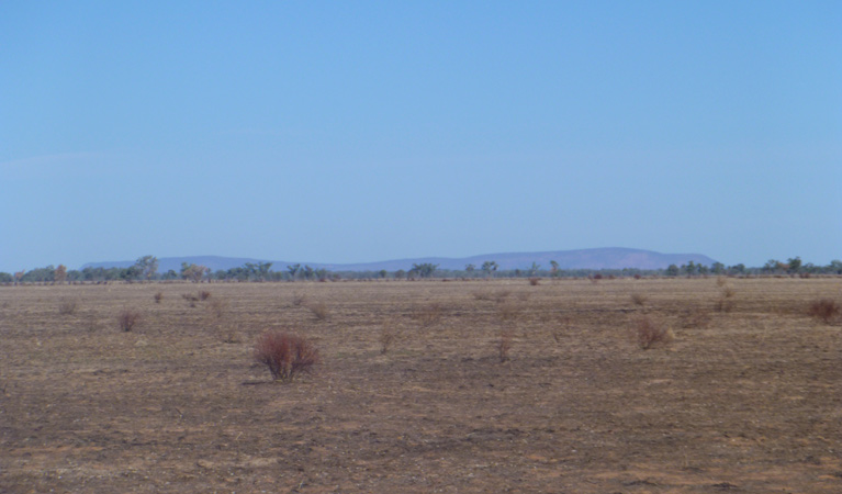
Whether you know this scenic car touring circuit as Darling River drive or Yuthuru Paaka Thuru, the expanse of floodplain is just as awe-inspiring. After rain, the waterways come to life, providing excellent opportunities to go fishing and catch yellow belly and cod. You’ll travel through coolabah woodlands interspersed with lush wetlands, ideal for birdwatching, so pack your binoculars and look out for kookaburras calling the area home.
Enjoy a relaxing picnic or camp overnight and enjoy the vast star-filled sky as it fills with stars. In spring, masses of tiny white sunray daisies appear, and after the rains you’ll be treated to colourful wildflower displays of pigweed, native peas and bluebells.
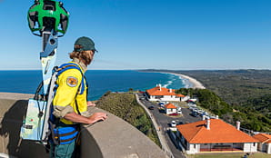
Google Street View Trekker
Using Google Street View Trekker, we've captured imagery across a range of NSW national parks and attractions. Get a bird's eye view of these incredible landscapes before setting off on your own adventure.
Conservation program:
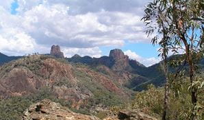
Warrumbungle National Park after-fire program
The 2013 bushfires were the largest and most intense on record for Warrumbungle National Park. Almost 90 per cent of the park was burnt, but conservation programs and research have helped us better understand the impact of fire and how the park has recovered.
General enquiries
- National Parks Contact Centre
- 7am to 7pm daily
- 1300 072 757 (13000 PARKS) for the cost of a local call within Australia excluding mobiles
- parks.info@environment.nsw.gov.au
Operated by
- Bourke office
- Monday to Friday, 8.30am to 4.30pm.
- 02 6830 0200
- npws.bourke@environment.nsw.gov.au
- 51-53 Oxley Street, Bourke NSW 2840
Park info
- in Toorale National Park in the Outback NSW region
Toorale National Park and SCA is always open, but may have to close at times due to poor weather or fire danger.
What's nearby:
Things to do (18)
- Aboriginal culture (4)
- Birdwatching and wildlife encounters (8)
- Cultural heritage (2)
- Fishing (1)
- Historic heritage (2)
- Picnics and barbecues (8)
- Road trips and car/bus tours (2)
- Sightseeing (7)
- Walking (8)
- Wildflowers (seasonal) (3)

