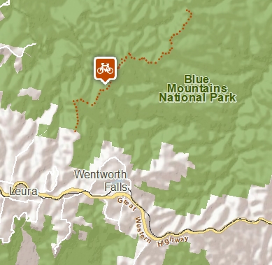
Mount Hay Road - Leura
Blackheath area in Blue Mountains National Park
Affected by closures, check current alerts
Overview
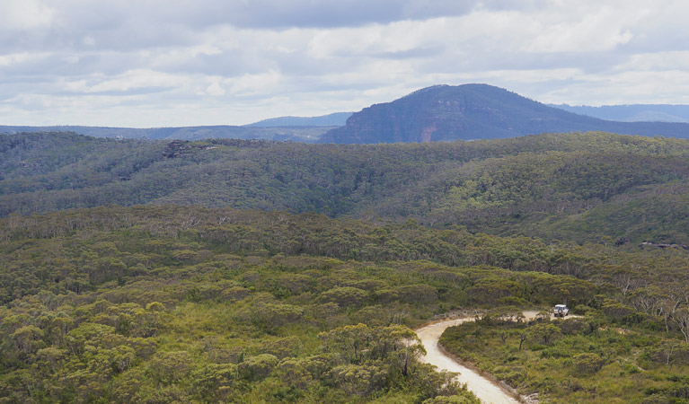
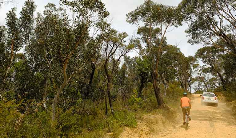
Mount Hay Road, near Leura, is an unsealed mountain bike ride and driving route offering scenic views and wildflowers of the Grose Wilderness, in Blue Mountains National Park.
- Distance
- 32km return
- Time suggested
- 7hrs
- Grade
- Easy
- What to
bring - Drinking water, sunscreen, suitable clothing, snacks, bike repair kit
- Please note
- The return distance includes the 4.5km section between Leura Train Station and the national park boundary.
- Drivers please watch for cyclists and take care on the road.
- You'll need to leave your bike at the carpark if you plan to take the 4km return walk to Mount Hay summit. Bring a bike chain and lock, plus walking shoes.
- It's a good idea to fill in the free trip intention form before you set out. Bring a topographic map and compass or GPS.
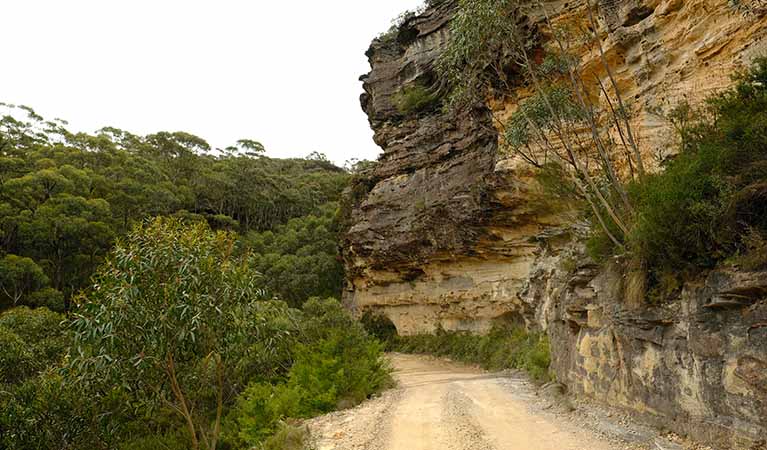
Leading to the edge of the renowned Grose Wilderness, Mount Hay Road is an unsealed road ideally suited for mountain biking and car touring. Packed with walking tracks, wildflowers and breathtaking views, it’s a great day out in Blue Mountains National Park.
From Leura Train Station it's 4.5km to the national park boundary, then follow the unsealed road around 11.5km to the end, where you'll reach Mount Hay summit walk carpark. With several steep sections, it’s generally an easy ride across the sandstone plateau. As the light filters through the canopy of scribbly gums overhead, you might glimpse the distinctive giant dragonfly, unique to this area. Along the clifftops, rare pink flannel flowers, which germinate after fire, create a carpet of vivid colour.
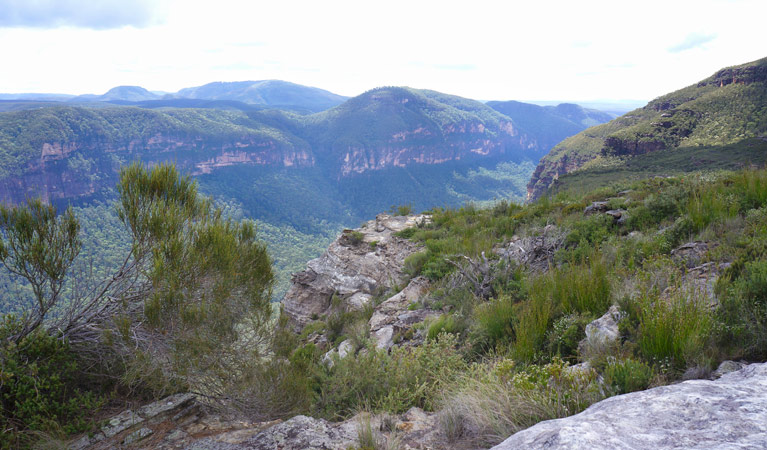
Arriving at the end of Mount Hay Road, you can leave your bike and walk a short section of the Mount Hay summit walking track to marvel at the majestic gorge views across the Grose Valley to Mount Banks. Unpack a picnic for a well-deserved lunch before the next adventure begins. You can also stretch your legs along Lockley Pylon walking track, which starts from Mount Hay Road.
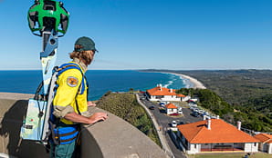
Take a virtual tour of Mount Hay Road cycle captured with Google Street View Trekker.
Google Street View Trekker
Using Google Street View Trekker, we've captured imagery across a range of NSW national parks and attractions. Get a bird's eye view of these incredible landscapes before setting off on your own adventure.
Conservation program:
Bush Trackers
Bush Trackers was created to encourage children to engage with the environment in and around the Greater Blue Mountains World Heritage area. This program highlights the natural and cultural splendour of the greater Blue Mountains through education initiatives and bushwalks.
General enquiries
- National Parks Contact Centre
- 7am to 7pm daily
- 1300 072 757 (13000 PARKS) for the cost of a local call within Australia excluding mobiles
- parks.info@environment.nsw.gov.au
Operated by
- Blue Mountains Heritage Centre and Blackheath office
- 9am to 4pm daily. Closed Christmas Day.
- 02 4787 8877
- bluemountains.heritagecentre@environment.nsw.gov.au
- 270 Govetts Leap Road, Blackheath NSW 2785
Park info
- in the Blackheath area of Blue Mountains National Park in the Sydney and surrounds region
Blackheath area is always open but may have to close at times due to poor weather or fire danger.
What's nearby:
Things to do (133)
- 4WD touring (3)
- Aboriginal culture (7)
- Adventure sports (13)
- Birdwatching and wildlife encounters (12)
- Cafes and kiosks (2)
- Cycling (12)
- Environmental appreciation/study (4)
- Historic heritage (10)
- Other experiences (8)
- Photography (3)
- Picnics and barbecues (13)
- Road trips and car/bus tours (3)
- Sightseeing (70)
- Swimming (2)
- Visitor centres (1)
- Walking (74)
- Waterfalls (42)
- Wildflowers (seasonal) (8)

