Woodford Station to Murphys Glen campground
Glenbrook area in Blue Mountains National Park
Overview
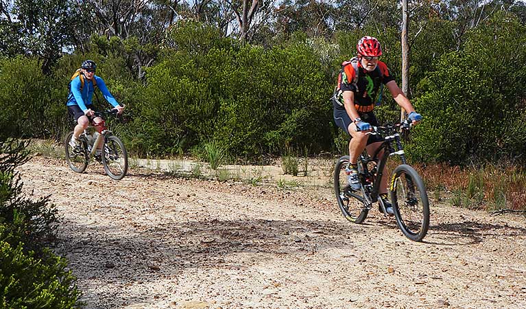
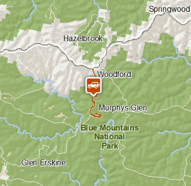
Mountain bike or drive Murphys Road from Woodford Station to Murphys Glen campground in this quiet area of Blue Mountains National Park. If you're driving, it's a 1km walk to the campground.
- Distance
- 14km return
- Please note
- Allow 2 to 3 hours if cycling the 14km return route from Woodford Station.
- It's 3km from the station to the park boundary, then 4km to the campground. Cars must stop at the locked gate 1km from the campground.
- There's a steep descent into Murphys Glen campground.
- Drivers please watch out for bike riders and walkers.
- Check the weather before you set out as Murphys Road may close at short notice, due to wet weather or fire conditions.
This tranquil 4WD and mountain bike route leads along Bedford and Murphys Roads from Woodford Station to Murphys Glen campground. Cars must stop at the locked gate 1km from the campground. Easily accessed from the Great Western Highway, it's a great nature escape in Blue Mountains National Park.
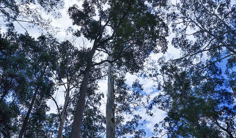
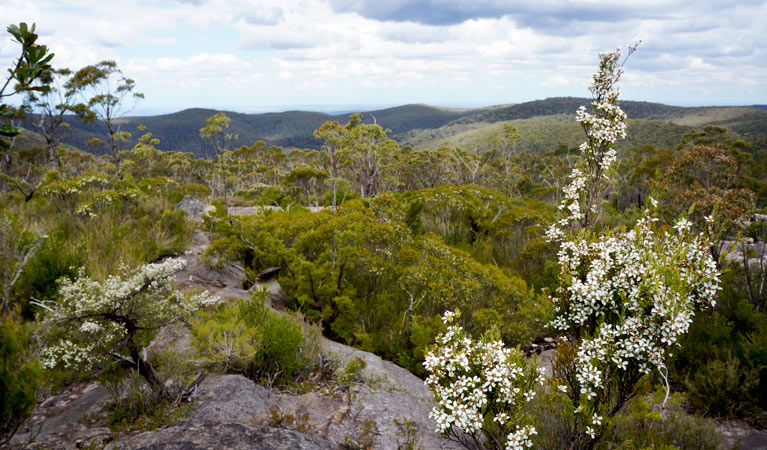
The unsealed road travels through unspoilt heathland and along a narrow ridge top with scenic views across Cumberland Plain. You might be sharing the track with swamp wallabies and goannas so keep an eye out. As the road descends into Murphys Glen campground, the heath gives way to majestic tall forest of blue gums and turpentine. Whether you're camping overnight or simply stopping for a picnic, be sure to stretch your legs on the nearby Turpentine track.
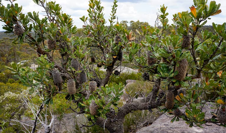
Spring is a great time to visit as the seemingly harsh landscape, as the sandstone rock platforms erupt with an extravagant wildflower display. Hardy mallee ash, banksia and trigger plants, growing in the sandstone rock clefts, dazzle with vibrant blooms.
Take a virtual tour of Woodford to Murphys Glen trail captured with Google Street View Trekker.
Google Street View Trekker
Using Google Street View Trekker, we've captured imagery across a range of NSW national parks and attractions. Get a bird's eye view of these incredible landscapes before setting off on your own adventure.

Conservation program:
Bush Trackers
Bush Trackers was created to encourage children to engage with the environment in and around the Greater Blue Mountains World Heritage area. This program highlights the natural and cultural splendour of the greater Blue Mountains through education initiatives and bushwalks.
Operated by
- Blue Mountains Heritage Centre and Blackheath office
- 9am to 4pm daily. Closed Christmas Day.
- 02 4787 8877
- bluemountains.heritagecentre@environment.nsw.gov.au
- 270 Govetts Leap Road, Blackheath NSW 2785
Park info
- in the Glenbrook area of Blue Mountains National Park in the Sydney and surrounds region
- From the first Sunday in October to the first Sunday in April: park gates are open 8.30am to 7pm.
- Rest of the year: park gates are open 8.30am to 6pm.
-
$8 per vehicle per day applies at the Bruce Road entrance to the Glenbrook area. You can also pay for your visit via the Park’nPay app.
Buy annual pass
What's nearby:
Things to do (82)
- 4WD touring (3)
- Aboriginal culture (6)
- Adventure sports (7)
- Birdwatching and wildlife encounters (8)
- Cafes and kiosks (2)
- Cultural heritage (1)
- Cycling (8)
- Environmental appreciation/study (1)
- Historic heritage (5)
- Other experiences (6)
- Photography (3)
- Picnics and barbecues (4)
- Road trips and car/bus tours (2)
- Sightseeing (35)
- Swimming (3)
- Walking (35)
- Waterfalls (18)
- Wildflowers (seasonal) (2)