Overview
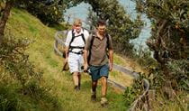
Brooms Head to Illaroo walking track, part of Yuraygir coastal walk, is a hiking route with river crossings, beach walking, scenic coastal views and birdwatching opportunities.
- Where
- Yuraygir National Park in North Coast
- Distance
- 18km one-way
- Time suggested
- 7 - 8hrs
- Grade
- Grade 3
- Trip Intention Form
-
It's a good idea to let someone know where you're going. Fill in a trip intention form to send important details about your trip to your emergency contact.
- Entry fees
- Park entry fees apply
- Opening times
Yuraygir National Park is always open but may have to close at times due to poor weather or fire danger.
- What to
bring - Drinking water, hat, suitable clothing, sunscreen, sturdy shoes
- Please note
- The route is best walked north to south.
- For assistance crossing Sandon River, call 0407 362 118 well ahead of time.
- If you’re planning to stay at Illaroo campground or Sandon River campground you’ll need to book online before you leave. Other campgrounds along the multi-day Yuraygir coastal walk operate on a first in, first served basis.
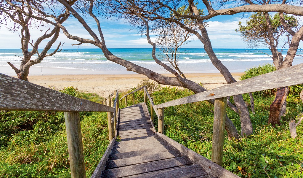
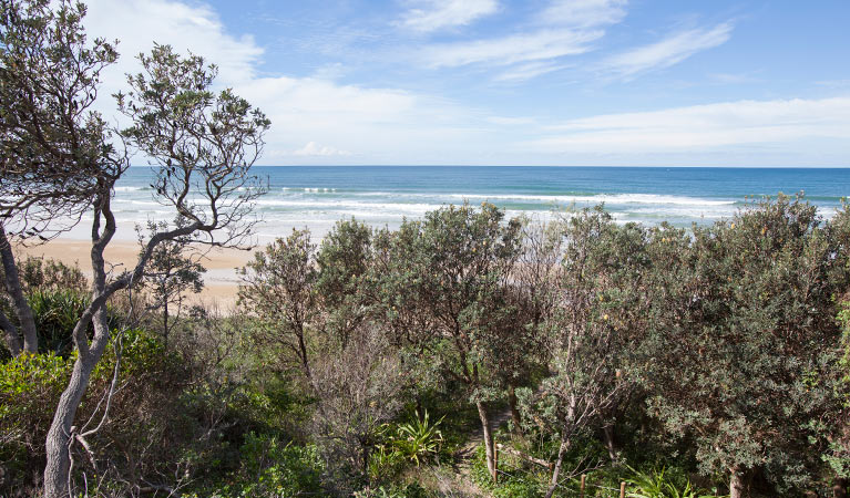
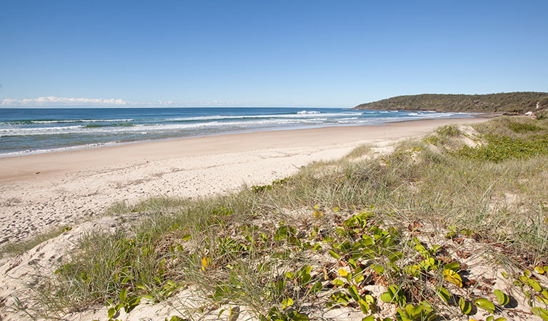
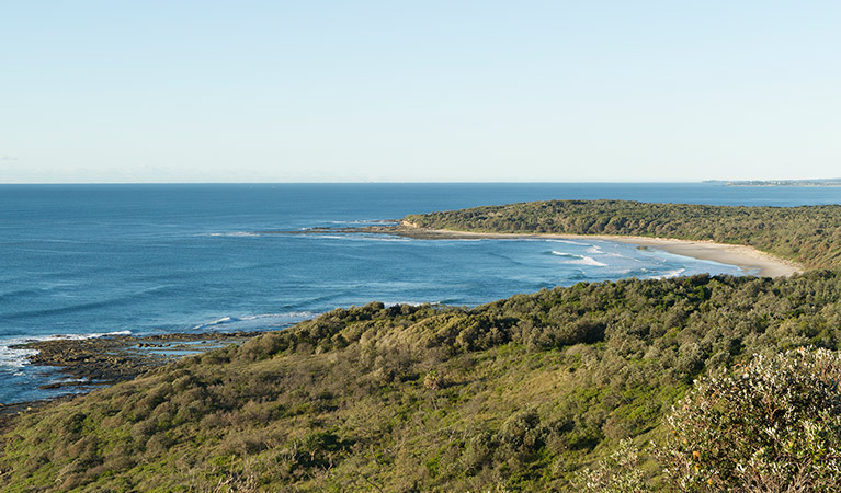
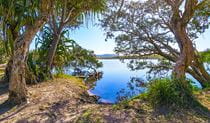
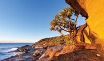
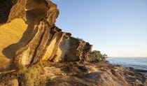
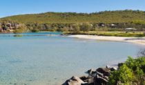
If you love beach hiking then the moderate Brooms Head to Illaroo walking track is for you. Take in sweeping stretches of golden beaches and protected woodlands of paperbarks on this leg of the Yuraygir coastal walk. There are scenic coastal views at the southern end of Brooms Head Beach which are ideal for whale watching and dolphin spotting.
At low tide, explore Plover Island, which holds great cultural significance for the Yaegl People. Middens and artefacts have been discovered in the area and information about these can be found on the island.
Sandon River, around the halfway lunch break mark, is the northernmost point of Solitary Islands Marine Park, which runs south for 75km to Muttonbird Island at Coffs Harbour. The small settlement of Sandon, on the south side of the river, is made up of only about 35 dwellings.
Also see
Google Street View Trekker
Using Google Street View Trekker, we've captured imagery across a range of NSW national parks and attractions. Get a bird's eye view of these incredible landscapes before setting off on your own adventure.

General enquiries
- National Parks Contact Centre
- 7am to 7pm daily
- 1300 072 757 (13000 PARKS) for the cost of a local call within Australia excluding mobiles
- parks.info@environment.nsw.gov.au
Operated by
- Grafton office
- Monday to Friday, 8.30am to 4.30pm.
- 02 6641 1500
- npws.clarence@environment.nsw.gov.au
- Level 4, 49 Victoria Street, Grafton NSW 2460
Park info
- in Yuraygir National Park in the North Coast region
Yuraygir National Park is always open but may have to close at times due to poor weather or fire danger.
-
Park entry fees:
$8 per vehicle per day.
Buy annual pass