Summit walking track
Mount Hyland Nature Reserve
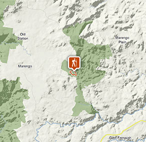
Visitor info
All the practical information you need to know about Summit walking track.
Track grading
Features of this track
Distance
3km loop
Time
1 - 2hrs
Quality of markings
Limited signage
Experience required
No experience required
Gradient
Short steep hills
Steps
No steps
Quality of path
Rough track, many obstacles
Getting there and parking
Summit walking track starts at Mount Hyland picnic area within Mount Hyland Nature Reserve. To get there:
Via Dundurrabin
- Turn off Armidale/Grafton Road at Dundurrabin
- Proceed along Sheepstation Road for 6.3km
- Turn left onto Chaelundi Road and proceed for 11.3km
- Turn left onto Hardens Road and proceed for 5km
- Turn left at the sign for Mount Hyland picnic area and proceed for 1km
Via Hernani
- Turn off Armidale/Grafton Road at Hernani onto Marengo Road
- Proceed along Marengo Road for 11.4km
- Turn right onto Hardens Road and proceed for 7km
- Turn right at the sign for Mount Hyland picnic area and drive for 1km
Road quality
Check the weather before you set out as the road to Summit walking track can become boggy when it rains.
Parking
Parking is available at Mount Hyland picnic area, which is at the start of Summit walking track.
Best times to visit
There are lots of great things waiting for you in Mount Hyland Nature Reserve. Here are some of the highlights.
Autumn
Walk to the top of the summit for spectacular views across world-class wilderness.
Spring
Take the binoculars for some excellent birdwatching as spring heralds the nesting season.
Summer
Escape the summer heat with a refreshing walk through temperate rainforest.
Winter
The crisp mornings are a great time for taking in the majestic views across the mountain ranges from the lookouts.
Weather, temperature and rainfall
Summer temperature
Average
13.8°C and 24°C
Highest recorded
35°C
Winter temperature
Average
4.4°C and 16°C
Lowest recorded
-8.9°C
Rainfall
Wettest month
January
Driest month
August
The area’s highest recorded rainfall in one day
254.8mm
Facilities
You’re encouraged to bring gas or fuel stoves, especially in summer during the fire season.
Maps and downloads
Prohibited
Pets
Pets and domestic animals (other than certified assistance animals) are not permitted. Find out which regional parks allow dog walking and see the pets in parks policy for more information.
Smoking
NSW national parks are no smoking areas.
Operated by
- Dorrigo Rainforest Centre
- May to August 9am to 4pm daily. September to April 9am to 4.30pm daily. Closed Christmas Day.
- 02 6657 5913
- dorrigo.rainforestcentre@environment.nsw.gov.au
- 142 Dome Road Dorrigo Mountain NSW 2453
Park info
- in Mount Hyland Nature Reserve in the North Coast region
Mount Hyland Nature Reserve is always open but may have to close at times due to poor weather or fire danger.