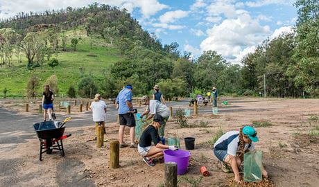
Bush regeneration volunteering program
From mountain rainforests and coastal dunes, to bird-filled wetlands and eucalyptus forests, important bush regeneration work is being carried out across NSW.
Volunteers are vital to the success of NSW national parks. By lending a hand, you'll forge a deeper connection with our environment and help protect it for future generations. Imagine learning bush skills directly from park rangers, while exploring some of the most breathtaking landscapes in NSW alongside fellow nature enthusiasts. Volunteering offers a fantastic opportunity to gain new skills and meet like-minded people.
Ready to get involved? Join a local bush regeneration team, organise a corporate volunteering day for your company or become a tour guide.
Check out all NPWS volunteering activities.

From mountain rainforests and coastal dunes, to bird-filled wetlands and eucalyptus forests, important bush regeneration work is being carried out across NSW.
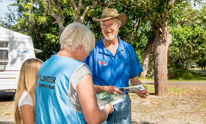
Campground hosts play a vital role in enhancing the visitor experience within NSW national parks. Hosts support NPWS rangers and staff by warmly welcoming campers, providing helpful information and contributing to a positive and enjoyable experience for all.

Join the NPWS corporate volunteer program. Led by experienced NPWS guides and rangers, this purpose-built, unique program is a sure way to positively impact your team's corporate social responsibility goals.

Do you enjoy getting out in nature and getting your hands dirty? Join our threatened species projects, and make a tangible difference for Australia's unique wildlife and plants.
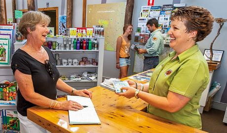
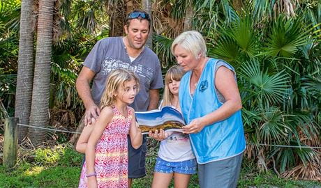
Are you passionate about connecting with visitors to NSW national parks? Join us as a tour guide or visitor services host. You'll engage with visitors on parks, at historical sites or during a tour, sharing the stories of these iconic spaces.
Join us for volunteer work in NSW national parks to help protect Australian animals, Australian birds and Australian native plants and meet new people.