Darwins walk
Katoomba area in Blue Mountains National Park
Overview
Darwins walk is an easy track that connects Wentworth Falls village with Blue Mountains National Park. Enjoy waterfalls and birdwatching as you follow Jamison Creek along this track before joining walks in the park.
- Accessibility
- No wheelchair access
- Distance
- 2.4km one-way
- Time suggested
- 45min - 1hr 15min
- Grade
- Grade 3
- What to
bring - Drinking water, hat, sunscreen, suitable clothing, sturdy shoes
- Please note
- Visit the Blue Mountains City Council website for council reserve and walking track closures.
- Please report any incidents or safety issues along this track to Blue Mountains City Council.
Darwins walk, sometimes referred to as Charles Darwin walk, is managed by Blue Mountains City Council and is located between Wentworth Falls village and Blue Mountains National Park.
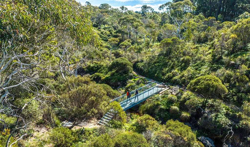
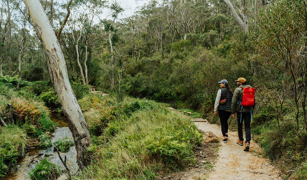
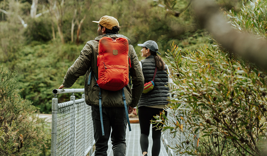
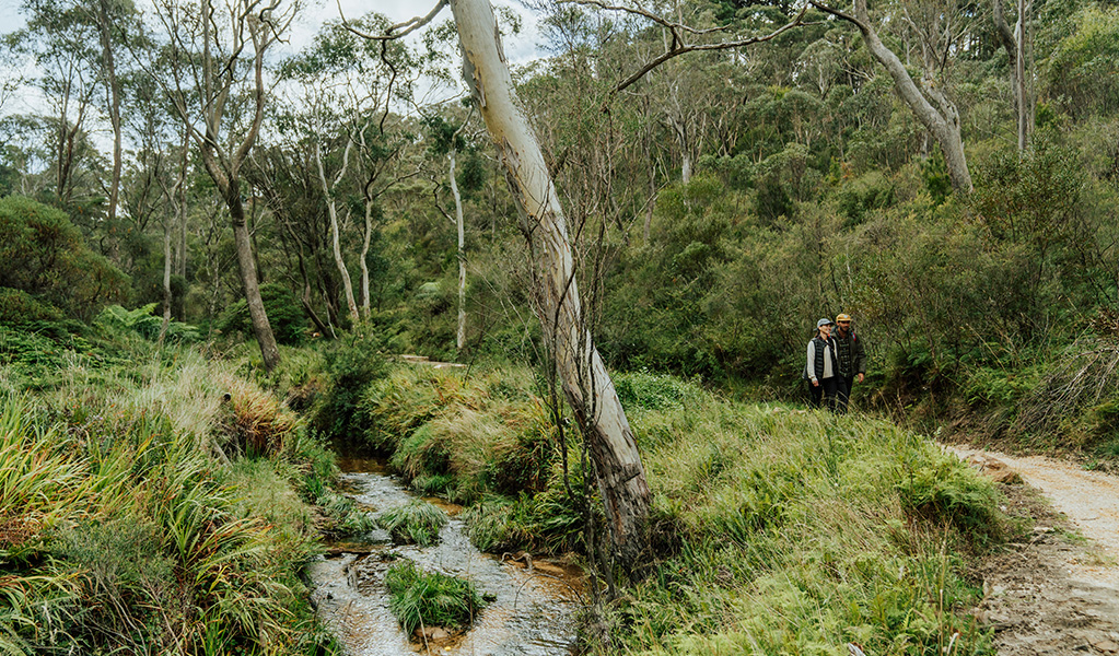
Follow in the footsteps of the famous naturalist, Charles Darwin, who walked this popular track in 1836. Starting from Wilson Park, today's visitors can stroll the boardwalk and bush track through open forest, shrub, and hanging swamps to the national park boundary, where the walk meets Weeping Rock circuit track.
Along the way, Jamison Creek's rock pools and cascades are tranquil spots to cool your feet on a hot day. Bird watchers should keep an eye out for honeyeaters, shrub wrens, and the raucous black cockatoos that can't resist the native banksia trees.
From the park boundary, it's only 400m to Wentworth Falls via picturesque Weeping Rock, or 15mins to Wentworth Falls picnic area. Spend some time exploring the many walks and lookouts in the park, including Fletchers lookout, that offer incredible views of the waterfall and vast Jamison Valley, before retracing your steps back along the walk or taking Falls Road from Wentworth Falls picnic area back to town.
Darwins walk is the start of Grand Cliff Top Walk which is operated in partnership between NSW National Parks and Wildlife Service and Blue Mountains City Council
Read our Grand Cliff Top Walk blog post
Read our Blog and find out how you can see all the Blue Mountains’ greatest hits in one brilliant walk over 19km. Grand Cliff Top Walk seamlessly links Wentworth Falls, Leura, and Katoomba.

Get the Emergency Plus app
Emergency Plus is a free app developed by Australia's emergency services and industry partners.

Operated by
- Blue Mountains City Council
- 02 4780 5000
- Echo Point Visitor Centre, Katoomba or Glenbrook Visitor Centre, Glenbrook
Park info
- in the Katoomba area of Blue Mountains National Park in the Sydney and surrounds region
Katoomba area is always open but some locations may close at times due to maintenance, poor weather or fire danger.
What's nearby:
Things to do (124)
- 4WD touring (3)
- Aboriginal culture (7)
- Adventure sports (12)
- Birdwatching and wildlife encounters (10)
- Cafes and kiosks (2)
- Cycling (10)
- Environmental appreciation/study (4)
- Historic heritage (9)
- Other experiences (7)
- Photography (3)
- Picnics and barbecues (9)
- Road trips and car/bus tours (3)
- Sightseeing (61)
- Swimming (2)
- Visitor centres (1)
- Walking (66)
- Waterfalls (41)
- Wildflowers (seasonal) (4)