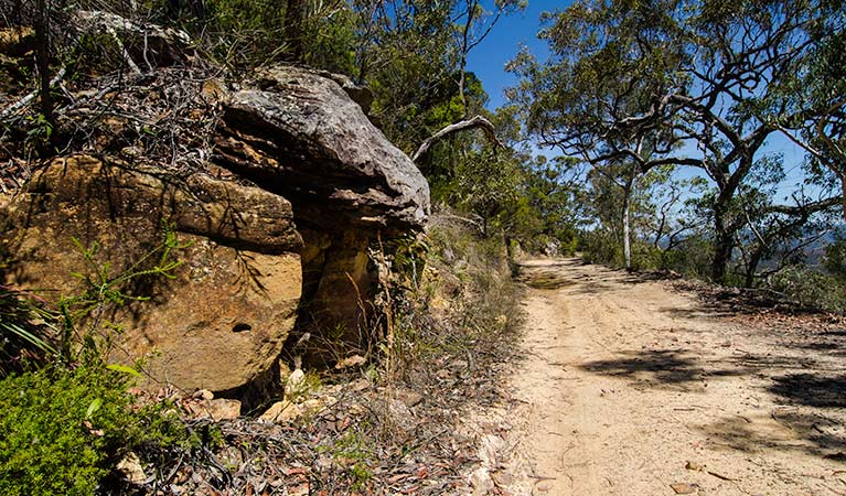
Canoelands Ridge walking track
Marramarra National Park
Overview
Canoelands Ridge walking track is a beautiful day walk near Hornsby and Sydney. See scenic Hawkesbury River views and native wildflowers along the way on this long hike.
- Distance
- 21km return
- Time suggested
- 8 - 10hrs
- Grade
- Grade 4
- Trip Intention Form
-
It's a good idea to let someone know where you're going. Fill in a trip intention form to send important details about your trip to your emergency contact.
- What to
bring - Drinking water, hat, sunscreen, suitable clothing
- Please note
- Remember to take your binoculars if you want to birdwatch.
There’s no better way to experience the beauty of Marramarra than by spending the day exploring Canoelands Ridge walking track on foot.
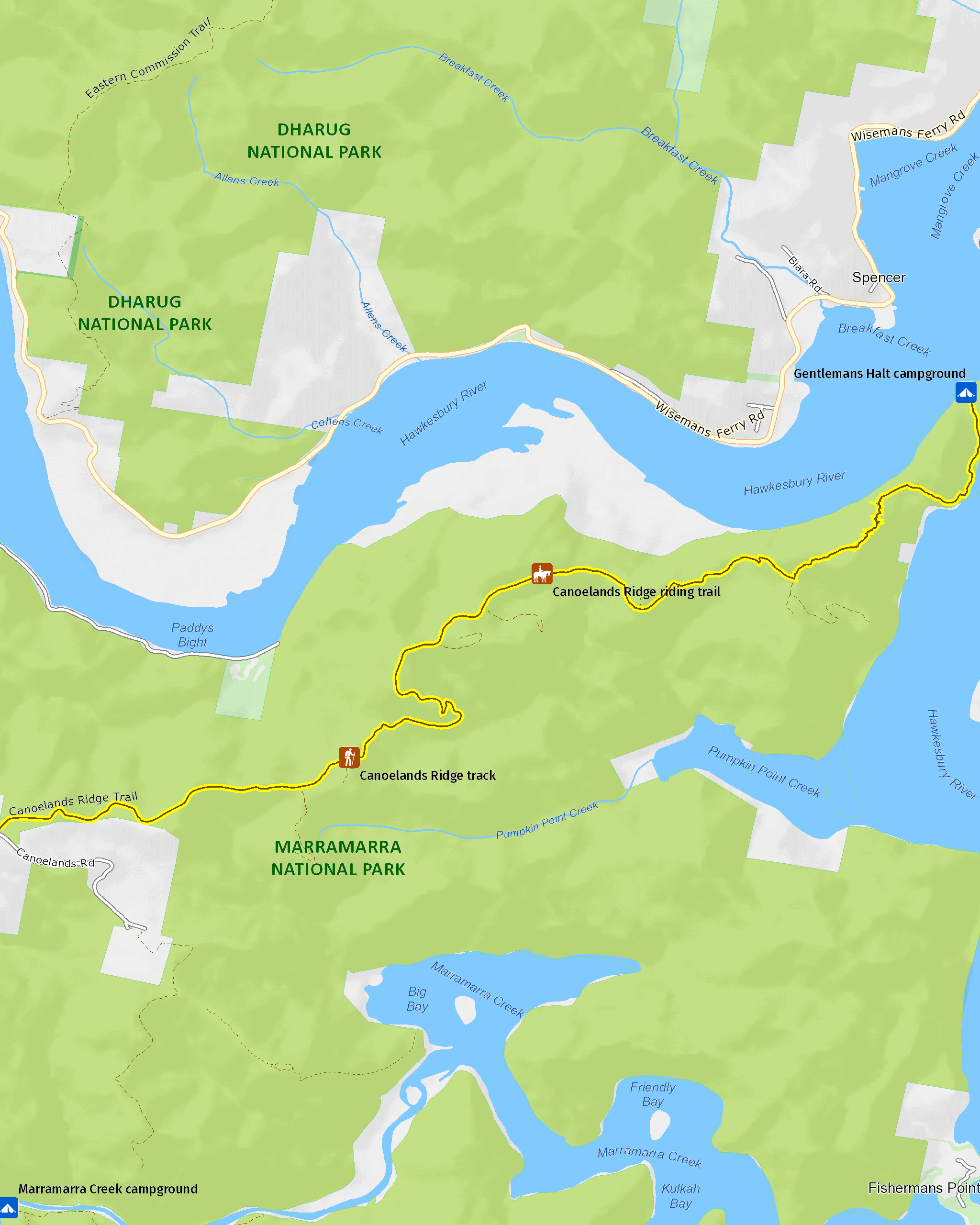
The 10km walk to Gentlemans Halt takes you through constantly changing vegetation and right in to the heart of this secluded pocket of bushland in the northern outskirts of Sydney. See spectacular ridge-top colours of iconic Hawkesbury sandstone and remarkable views of Hawkesbury River. Watch the occasional boat carving through the glistening blue waters of this beautiful waterway.
In spring, the bush turns into a vibrant display of colour with the native wildflowers. Wander through gullies of bright red waratahs and Gymea lilies, and explore the saltmarsh and mangroves by the river’s edge near Gentlemans Halt. Head off for a long day walking in the bush, or pack your tent and sleeping bag for a peaceful night camping by the river at historic Gentlemans Halt campground.
Related experiences
-

Sydney native habitats in 360
Explore our 360-degree interactive images to discover national park habitats in and around Sydney's urban fringe, and the protected plants and animals that live here.
Map
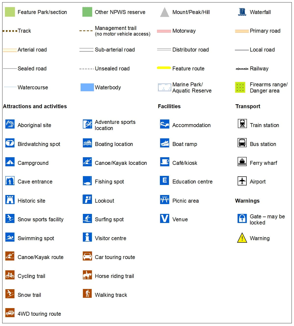
Map legend
Local alerts
For the latest updates on fires, closures and other alerts in this area, see https://www.nationalparks.nsw.gov.au/things-to-do/walking-tracks/canoelands-ridge-walking-track/local-alerts
General enquiries
- National Parks Contact Centre
- 7am to 7pm daily
- 1300 072 757 (13000 PARKS) for the cost of a local call within Australia excluding mobiles
- parks.info@environment.nsw.gov.au
Park info
- in Marramarra National Park in the Sydney and surrounds region
Marramarra National Park is always open but may have to close at times due to poor weather or fire danger.
Visitor info
All the practical information you need to know about Canoelands Ridge walking track.
Maps and downloads
Learn more
Canoelands Ridge walking track is in Marramarra National Park. Here are just some of the reasons why this park is special:
Darug country
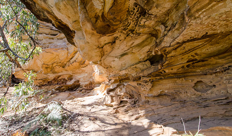
Marramarra is part of the traditional lands of the Darug Aboriginal people. Their use and respect of the land can be found in isolated corners of the park. The surviving Aboriginal sites, which provide the only indications of traditional life in the area, are of special importance to local Aboriginal communities. Cave art, rock engravings, grinding grooves, middens, scarred trees, and other occupational deposits and stone arrangements are all part of Marramarra.
Exploring the land
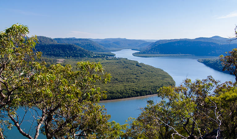
In the early days of the new colony, Hawkesbury River was a major communication route and supported an active river-based community. European exploration began as early as 1789 when Governor Arthur Phillip took his second trip up Hawkesbury River and camped at Gentlemans Halt. By 1884, there was a small community at Gentlemans Halt and a provisional school had been established; you can still see the foundations of a road and a wharf from this era. Other reminders of European historic heritage include remains of orange orchards along Marramarra Creek and the foundations of a hut, stone walls and a well at Big Bay.
Is it a bird?
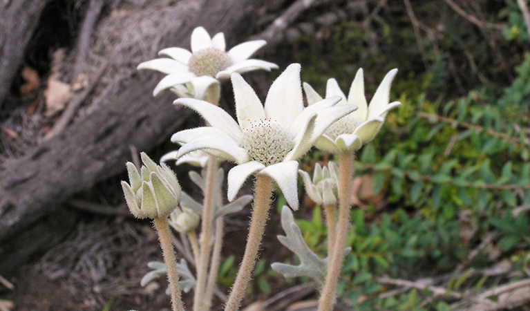
Marramarra is home to a great diversity of animals and birds, making it a great place for wildlife spotting and bird watching. You're likely to spot a white-breasted sea eagle, swamp wallaby, possum or kingfisher in your travels. If you're lucky, you might come across some of the more uncommon animals found here such as rails, gang-gang and glossy black cockatoos, and red-crowned toadlets.
- Canoelands Ridge walking track Canoelands Ridge walking track is a beautiful day walk near Hornsby and Sydney. See scenic Hawkesbury River views and native wildflowers along the way on this long hike.
- Marramarra Ridge to Smugglers Ridge walking track Discover the beauty of Marramarra, near Hornsby, on this day walk. Enjoy scenic views, historic heritage, colourful wildflowers and picnicking along the way.
Plentiful lands
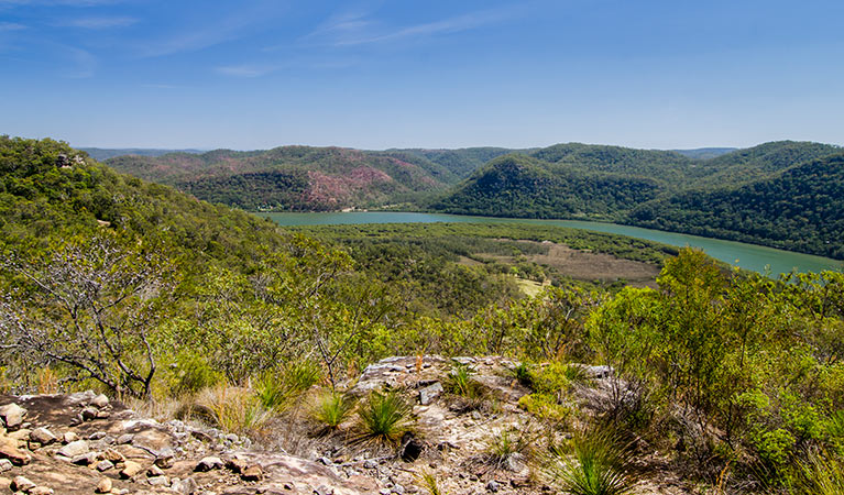
The sandstone ridges and deep gullies of Marramarra support a wide range of environments. Experience salt marsh and mangrove forests on the shores of Hawkesbury River, to tall open forest and ridge-top woodlands. In spring, the bush turns into a brilliant display of colour as the wildflowers burst in action. Discover the unique plant life and help preserve it – why not participate in the bush regeneration volunteer programs in the park?
- Canoelands Ridge walking track Canoelands Ridge walking track is a beautiful day walk near Hornsby and Sydney. See scenic Hawkesbury River views and native wildflowers along the way on this long hike.
- Marramarra adventurous journeys with YouthAdvance Fuel your sense of adventure on an exciting trip with YouthAdvance. You’ll learn navigation, teamwork and campcraft in beautiful Marramarra National Park, near Sydney.
- Marramarra Ridge to Smugglers Ridge walking track Discover the beauty of Marramarra, near Hornsby, on this day walk. Enjoy scenic views, historic heritage, colourful wildflowers and picnicking along the way.
