Bald Hill Creek Falls picnic area
Coolah Tops National Park
Overview
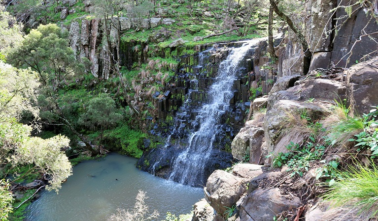
Bald Hill Creek Falls picnic area is in Coolah Tops National Park, near The Pines campground. It’s a great stop on the walk to Bald Hill waterfall, which cascades over basalt rock formations.
Nearby
-
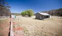
Brackens Hut
Brackens Hut provides rustic accommodation and a great base to explore the walking, mountain biking trails and spectacular scenery that Coolah Tops has to offer.
-
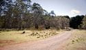
The Pines campground
Far away from the chaos of the city, The Pines campground in Coolah Tops National Park is a remote camping area and peaceful setting for outdoor pursuits, especially walking, mountain biking and birdwatching.
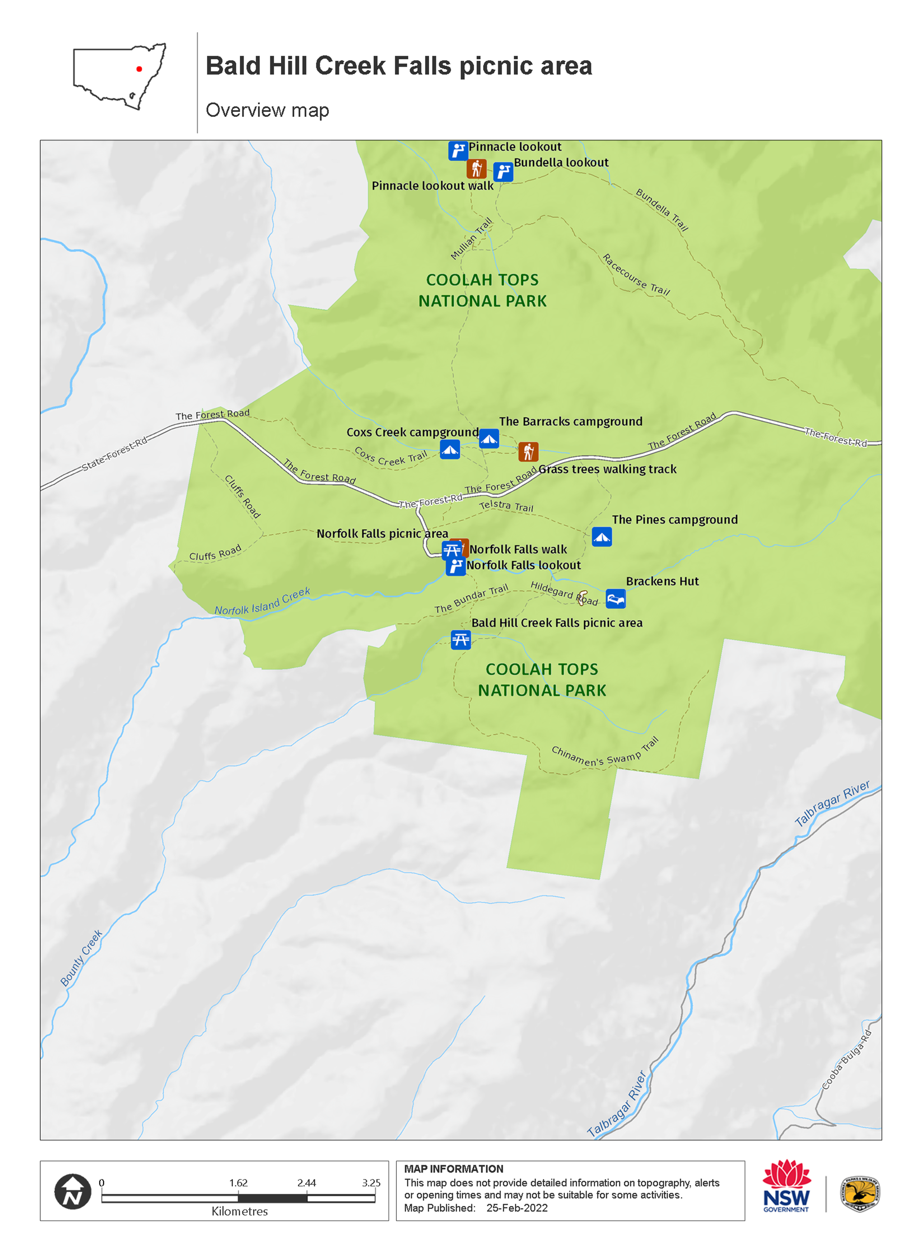
These maps give a basic overview of park attractions and facilities, and may not be detailed enough for some activities. We recommend that you buy a topographic map before you go exploring.
Map
Map legend

Local alerts
For the latest updates on fires, closures and other alerts in this area, see https://www.nationalparks.nsw.gov.au/things-to-do/picnic-areas/bald-hill-creek-falls-picnic-area/local-alerts
General enquiries
- National Parks Contact Centre
- 7am to 7pm daily
- 1300 072 757 (13000 PARKS) for the cost of a local call within Australia excluding mobiles
- parks.info@environment.nsw.gov.au
Park info
- in Coolah Tops National Park in the Country NSW region
Coolah Tops National Park is always open but may have to close at times due to poor weather, fire danger or management operations. The eastern end of the park is regularly closed during wet weather due to slippery road conditions.
Visitor info
All the practical information you need to know about the Bald Hill Creek Falls picnic area.
Maps and downloads
Learn more
Bald Hill Creek Falls picnic area is in Coolah Tops National Park. Here are just some of the reasons why this park is special:
Get active in the bush

Pack your hiking boots and your mountain bike and be ready to get active in the bush at Coolah Tops. There are plenty of great walking tracks and trails to experience the bush on your bike. Make your way to lookouts like Shepherd's Peak or Breeza lookout for spectacular views to the north over the Liverpool Plains and the sheer escarpment. You'll also find several waterfalls along the escarpment where the creeks plunge over the plateau edge.
Wildlife haven

Looking out across the beautiful landscape of Coolah Tops National Park, it's obvious why you'll find so much wildlife here. Wander quietly along one of the walking tracks and you'll probably have a close encounter with red-necked wallabies and eastern grey kangaroos. You might also find a wombat waddling through the campground. Coolah Tops has some of the highest population densities of greater gliders in Australia. At night, keep your torch handy to see greater gliders, ring-tailed possums and possibly feather-tailed gliders or a sugar glider in the nearby trees.
- Grass Tree walking track Grass Tree walking track is a great way to explore a magical landscape of ancient grass trees in Coolah Tops National Park. A must-do for visitors, this easy walk starts at The Barracks campground.
- Shepherds Peak walking track Explore the sub-alpine forest of Coolah Tops National Park along Shepherds Peak walking track as you make your way to the base of the peak's steep volcanic dome.
- Snow Gum walking track Snow Gum walking track in Coolah Tops National Park is an easy way to experience some of the largest known snow gum trees in a beautiful old-growth forest setting, near Coolah.