Angourie walking track
Yuraygir National Park
Overview
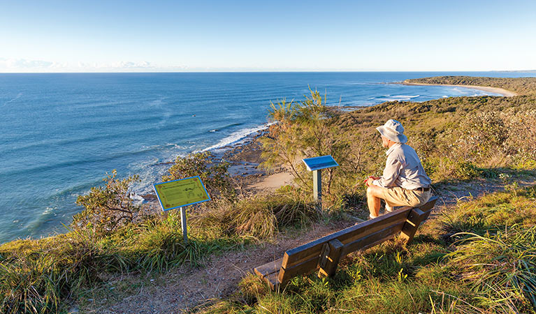
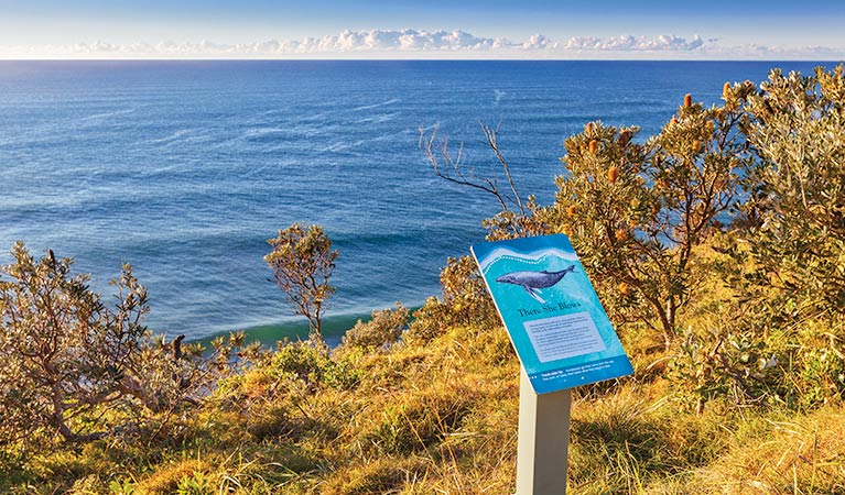
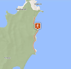
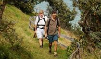
Angourie walking track, in Yuraygir National Park, offers a scenic lookout and coastal views with picnic, birdwatching and whale watching opportunities along the way.
- Where
- Yuraygir National Park in North Coast
- Distance
- 10km return
- Time suggested
- 3hrs 30min - 4hrs 30min
- Grade
- Grade 3
- Entry fees
- Park entry fees apply
- What to
bring - Drinking water, hat, sunscreen
- Please note
- The weather in the area can be extreme and unpredictable, so please ensure you’re well-prepared for your visit.
- Remember to take your binoculars if you want to go bird watching or whale watching
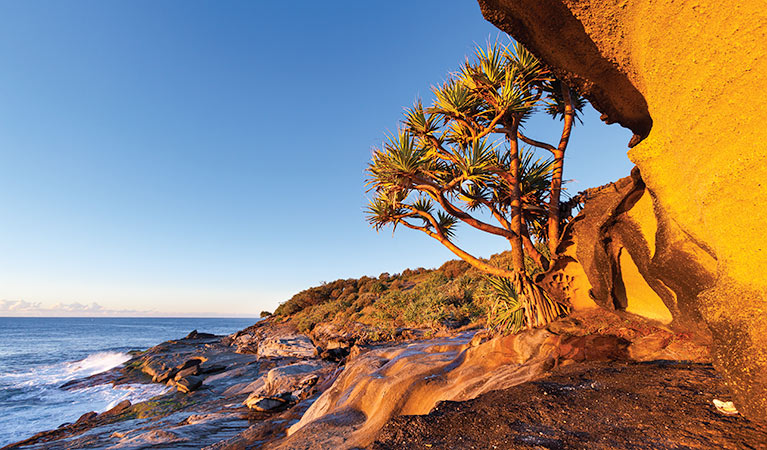
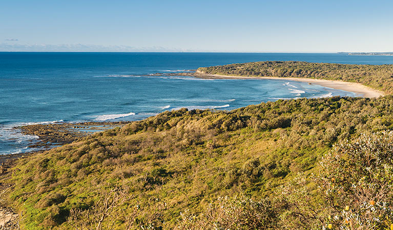
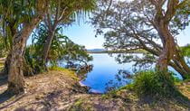
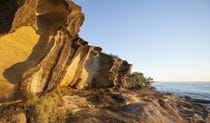
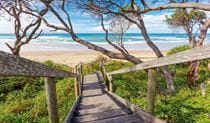
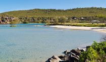
Angourie walking track is a moderately challenging route linking Mara Creek picnic area in the north with Shelley Headland in the south. This superb coastal hike passes through sections of coastland heath and along the seaward side of a ridge with views of sheltered bays and rocky shoals. Keep your binoculars handy for birds in the heath, as well as marine creatures – pods of dolphins, schools of sea mullet and bait fish, and migrating whales – often visible from this amazing vantage point. The route takes in a particularly scenic point called Dirrangan lookout.
At Shelley Headland, you can choose to turn back to tackle the 10km return hike of Angourie walking track, or do some fancy car shuffling and make it a one-way trip. Camping is available at Shelley Headland campground.
Angourie walking track is also part of Yuraygir coastal walk's Angourie to Brooms Head.
Also see:
Google Street View Trekker
Using Google Street View Trekker, we've captured imagery across a range of NSW national parks and attractions. Get a bird's eye view of these incredible landscapes before setting off on your own adventure.

General enquiries
- National Parks Contact Centre
- 7am to 7pm daily
- 1300 072 757 (13000 PARKS) for the cost of a local call within Australia excluding mobiles
- parks.info@environment.nsw.gov.au
Operated by
- Grafton office
- Monday to Friday, 8.30am to 4.30pm.
- 02 6641 1500
- npws.clarence@environment.nsw.gov.au
- Level 4, 49 Victoria Street, Grafton NSW 2460
Park info
- in Yuraygir National Park in the North Coast region
Yuraygir National Park is always open but may have to close at times due to poor weather or fire danger.
-
Park entry fees:
$8 per vehicle per day.
Buy annual pass