Angourie to Brooms Head walking track
Yuraygir National Park
Overview
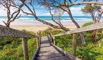
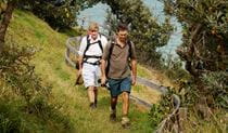
Angourie to Brooms Head walking track, part of Yuraygir coastal walk, is a hiking route offering scenic lookouts and opportunities for beach walking, birdwatching, and seasonal whale watching.
- Where
- Yuraygir National Park in North Coast
- Distance
- 18km one-way
- Time suggested
- 6 - 7hrs
- Grade
- Grade 4
- Trip Intention Form
-
It's a good idea to let someone know where you're going. Fill in a trip intention form to send important details about your trip to your emergency contact.
- Entry fees
- Park entry fees apply
- Opening times
Yuraygir National Park is always open but may have to close at times due to poor weather or fire danger.
- What to
bring - Hat, drinking water, sunscreen
- Please note
- The route is best walked north to south so the sun is on your back and not in your eyes
- If the tide is high you may need to walk along the track that diverts for the sand midway along Back Beach (look for the tall post)
- Remember to take your binoculars if you want to go bird watching or whale watching
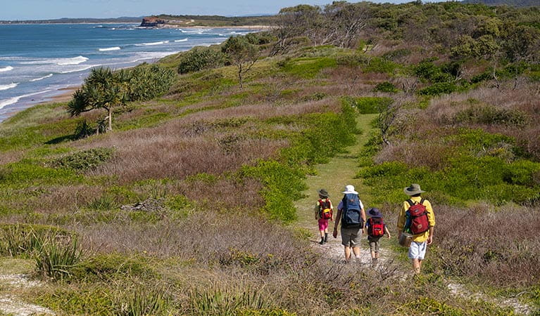
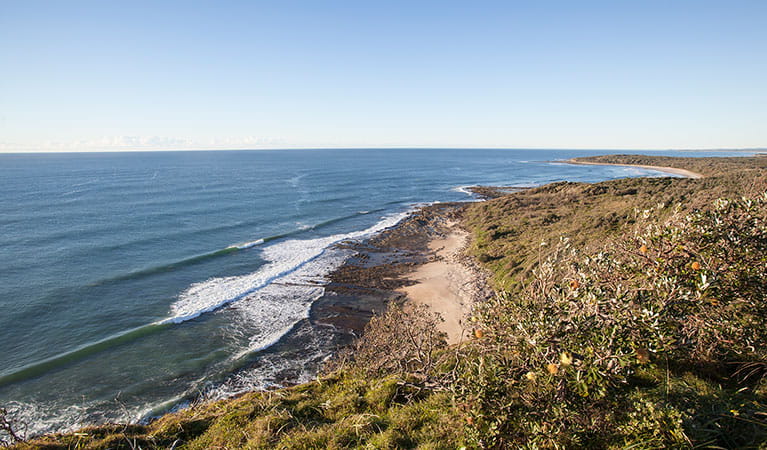
If you’ve decided to hike the entire Yuraygir coastal walk north to south, the Angourie to Brooms Head walking track is the first section and begins in world famous Angourie Surfing Reserve.
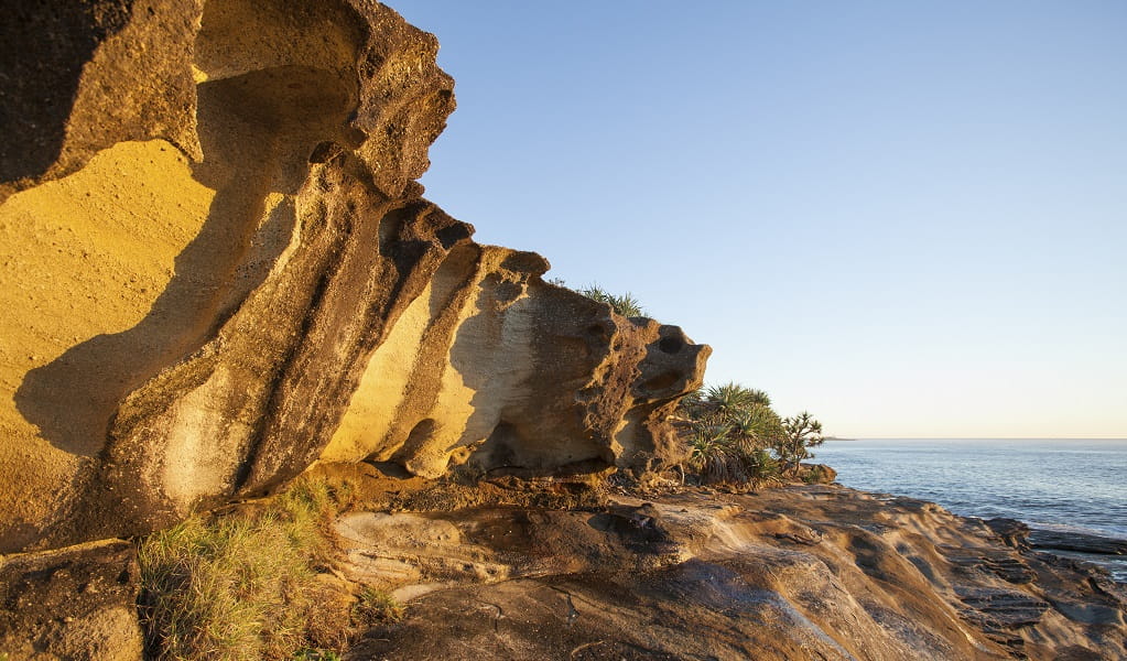
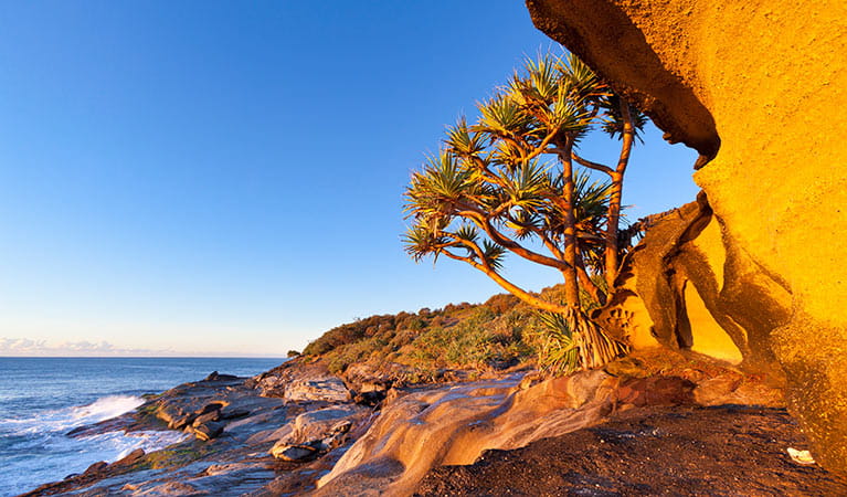
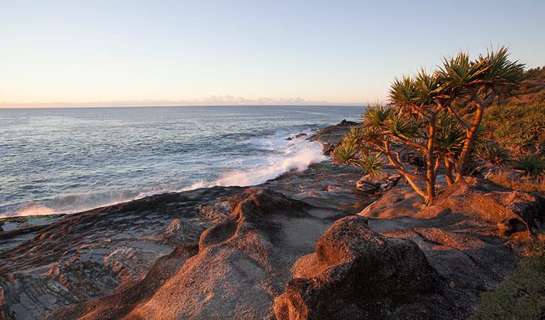
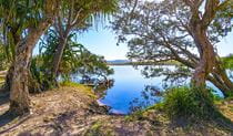
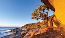
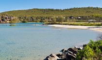
This hiking track is a great place to start a northern NSW coastal day walk or multi-day hike. It takes you through a variety of coastal ecosystems – over Mara Creek where it flows out at Back Beach and to the shores of beautiful Lake Arragan, and past caves on the southern side of Shelley headland. Keep your eyes peeled for interpretive signs along the track, and learn about the importance of the area to the local Yaegl People.
Have your binoculars handy to catch a glimpse of migrating whales between June and October, and dolphins all year round. Also keep a sharp eye out on the land for the endangered coastal emu, of which there are now less than one hundred in the park.
Also see:
Google Street View Trekker
Using Google Street View Trekker, we've captured imagery across a range of NSW national parks and attractions. Get a bird's eye view of these incredible landscapes before setting off on your own adventure.

General enquiries
- National Parks Contact Centre
- 7am to 7pm daily
- 1300 072 757 (13000 PARKS) for the cost of a local call within Australia excluding mobiles
- parks.info@environment.nsw.gov.au
Operated by
- Grafton office
- Monday to Friday, 8.30am to 4.30pm.
- 02 6641 1500
- npws.clarence@environment.nsw.gov.au
- Level 4, 49 Victoria Street, Grafton NSW 2460
Park info
- in Yuraygir National Park in the North Coast region
Yuraygir National Park is always open but may have to close at times due to poor weather or fire danger.
-
Park entry fees:
$8 per vehicle per day.
Buy annual pass