Norfolk Falls picnic area
Coolah Tops National Park
Overview

Norfolk Falls picnic area is in Coolah Tops National Park near The Barracks and Coxs Creek campgrounds. It’s a lovely rest stop when exploring the park’s beautiful waterfalls, walks and lookouts.
Nearby
-
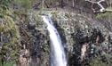
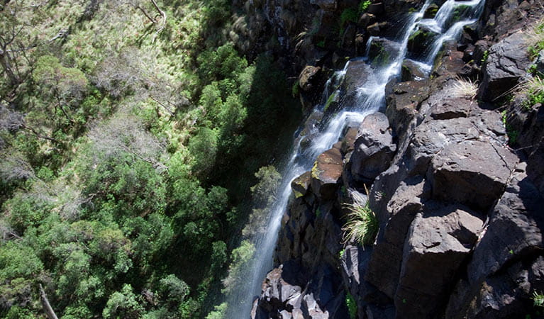
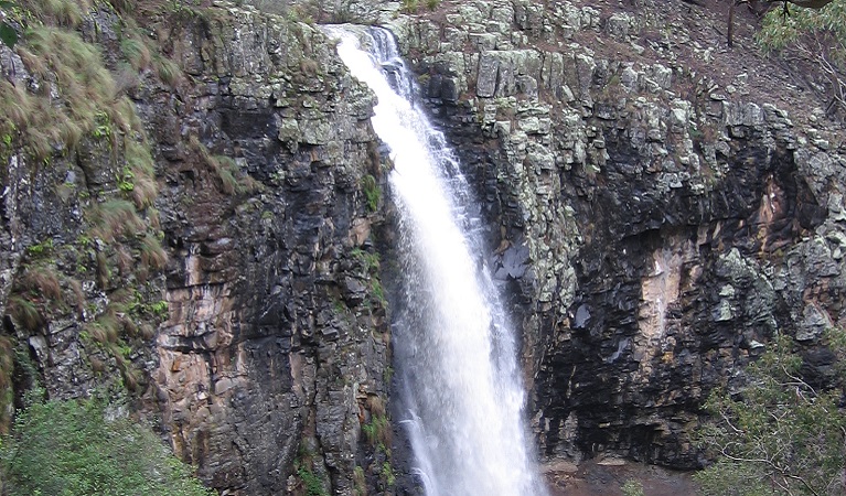
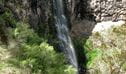
Norfolk Falls lookout
Norfolk Falls lookout is located at the end of Norfolk Falls walk, in Coolah Tops National Park. It’s a great spot to view the cascading waterfall along Norfolk Island Creek, plunging 35m into a pool.
-
Norfolk Falls walk
Norfolk Falls walk starts from Norfolk Falls picnic area, near Coolah. This short, steep walk ends at a lookout with stunning views of the largest waterfall in Coolah Tops National Park.
-
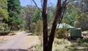
The Barracks campground
The Barracks campground is a secluded camping area, great for small groups looking for a tranquil place to come back to after a day of walking or mountain biking.
-
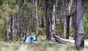
Coxs Creek campground
Spend a peaceful night surrounded by tall eucalypts at Coxs Creek campground in Coolah Tops National Park. Located 2 hours north of Mudgee, you’ll find excellent birdwatching opportunities, walking tracks and mountain bike trails to explore.
These maps give a basic overview of park attractions and facilities, and may not be detailed enough for some activities. We recommend that you buy a topographic map before you go exploring.
General enquiries
- National Parks Contact Centre
- 7am to 7pm daily
- 1300 072 757 (13000 PARKS) for the cost of a local call within Australia excluding mobiles
- parks.info@environment.nsw.gov.au
Operated by
- Warrumbungle National Park Environmental Education Centre
- 02 6825 4302
- warrumbung-e.School@det.nsw.edu.au
- Coonabarabran, 2357
Park info
- in Coolah Tops National Park in the Country NSW region
Coolah Tops National Park is always open but may have to close at times due to poor weather, fire danger or management operations. The eastern end of the park is regularly closed during wet weather due to slippery road conditions.
What's nearby:
Things to do (13)
- 4WD touring (1)
- Aboriginal culture (1)
- Birdwatching and wildlife encounters (4)
- Cultural heritage (1)
- Picnics and barbecues (6)
- Road trips and car/bus tours (2)
- Sightseeing (8)
- Walking (8)
- Waterfalls (4)
- Wildflowers (seasonal) (3)