Millewa campgrounds: Regional Park
Murray Valley Regional Park
Overview
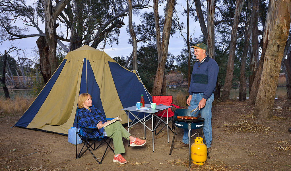
Camp along the river at one of 22 campgrounds in the Millewa area of Murray Valley Regional Park, near Mathoura. The Millewa group of forests, together with the Barmah forest in Victoria, forms the largest continuous river red gum forest in the world.
Choose from 22 campgrounds when you arrive:
- Huts campground
- Brown Bottle Bend campground
- Clay Island campground
- Lower Sandy campground
- Chimney Creek campground
- Ash Tree campground
- Snows campground
- Deadwood campground
- Thistle Bend campground
- Walthours campground
- Douglas campground
- Nestons campground
- Nine Panel campground
- Fishermans Bend campground
- Turtle campground
- Kangaroo Bend campground
- Hooked Leaf Wattle campground
- Cherry Tree campground
- Potts Creek campground
- Mary Ada campground
- Pinch Gut campground
- 1818 campground
Campgrounds range in size from Fishermans Bend (8 sites) and Huts campground (6 sites) to Deadwood, Douglas and Hooked Leaf Wattle campgrounds (1 site each). There are no camping fees but a $6 booking fee applies. Bookings are required. Book online or call 1300 072 757.
There are no rubbish collection points. Please take all rubbish when you leave.
Permitted
- Campfires are permitted between April and September.
- Collection of deadfall timber is permitted for small campfires only.
- Dogs and domestic pets are permitted everywhere in Murray Valley Regional Park, but they are prohibited in Murray Valley National Park. You can walk and camp with your dog in Murray Valley Regional Park
Prohibited
You can’t remove firewood from the park. Chainsaws are not permitted.
Vehicle access and road quality
All roads leading to Millewa campgrounds are unsealed. 4WD vehicles recommended when wet. RVs/Motorhomes are not recommended in these campgrounds.
How to get there
- Head south-east on Cobb Highway/Moama Street/B75 towards Frome Street
- Turn left onto Jones Street
- Continue onto Picnic Point Road
- Turn left onto Millewa Road
- Turn right just past the Edward River
These maps give a basic overview of park attractions and facilities, and may not be detailed enough for some activities. We recommend that you buy a topographic map before you go exploring.
Bookings
- National Parks Contact Centre
- 7am to 7pm daily
- 1300 072 757 (13000 PARKS) for the cost of a local call within Australia excluding mobiles
- parks.info@environment.nsw.gov.au
Operated by
- Moama office
- Monday to Friday, 9am to 4pm. Closed 12pm to 1pm.
- 03 5483 9100
- npws.riverina@environment.nsw.gov.au
- Factory 5, Lot 8 Bowlan Road, Moama NSW 2731
Park info
- in Murray Valley Regional Park in the Murray-Riverina region
What's nearby:
Things to do (15)
- Aboriginal culture (1)
- Birdwatching and wildlife encounters (8)
- Canoeing/paddling (6)
- Cycling (2)
- Fishing (7)
- Historic heritage (1)
- Picnics and barbecues (7)
- Road trips and car/bus tours (2)
- Sailing, boating and cruises (2)
- Sightseeing (4)
- Swimming (5)
- Walking (10)