Warrumbungle National Park
Open, check current alerts
Overview
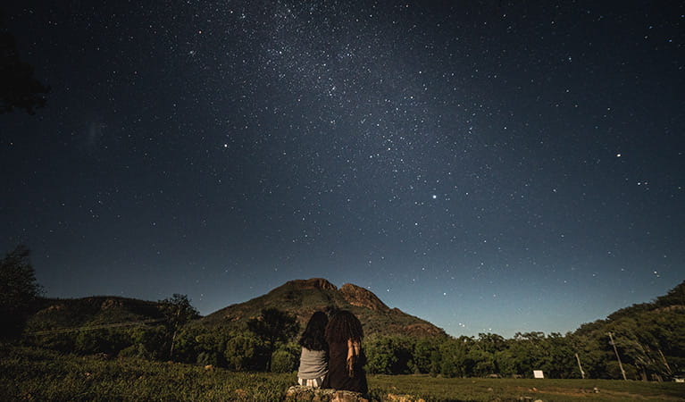

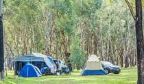
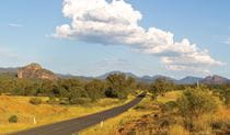
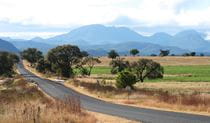
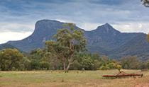
Warrumbungle National Park near Coonabarabran in NSW is Australia’s first Dark Sky Park, making it the perfect spot for stargazing, amateur astronomy and camping under the starriest of skies.
Read more about Warrumbungle National Park
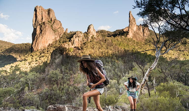
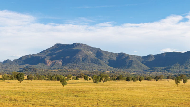
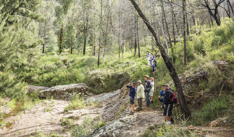
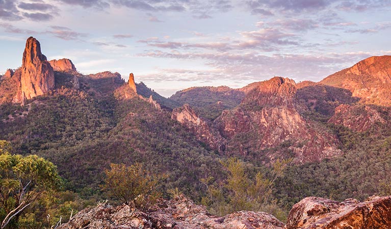
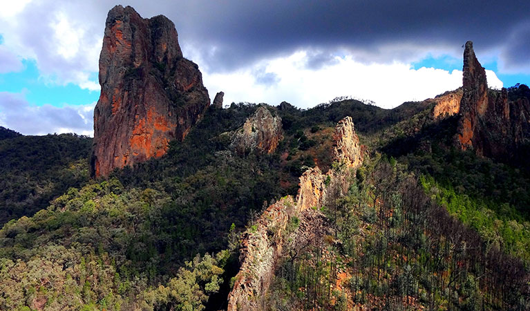
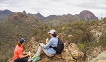
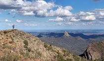
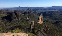
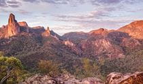
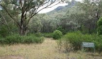
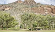
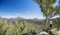
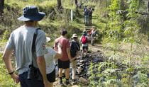
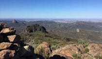
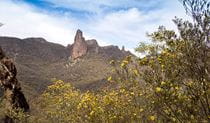
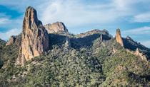
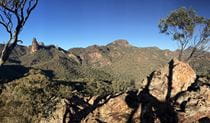
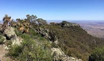
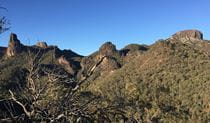
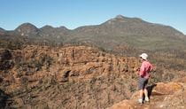
The Breadknife, easily the most recognisable feature within the park, towers 90m above the valley floor and is a symbol of the park’s enduring importance and resilience. The Breadknife and Grand High Tops walk is recognised as one of the best walks in NSW, with close up views of the park's iconic rock formations.
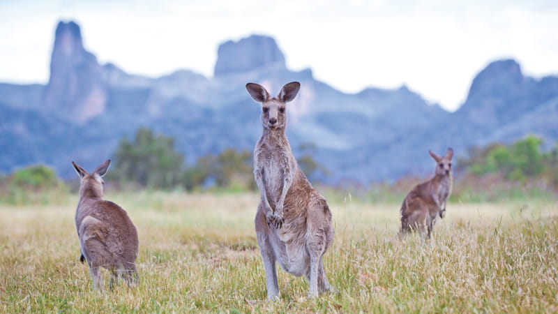
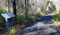
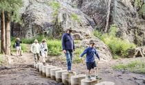
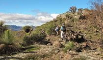
Whether you’re into camping, walking, birdwatching or astronomy, the park's big sky, amazing light and dramatic rock formations make it an outstanding place for amateur and professional photographers.
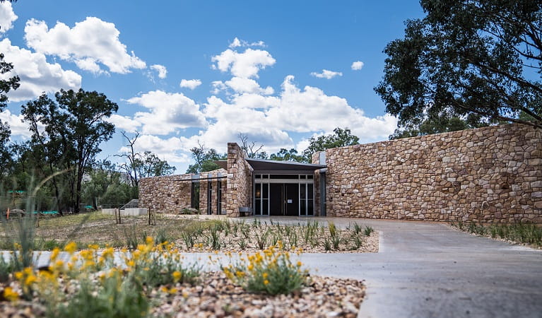
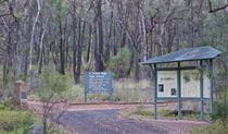
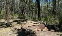
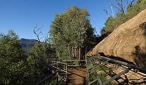
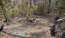
Wildfires in 2013 marked yet another chapter in this great park’s history. NPWS has worked hard to rebuild its facilities for generations to come. Walking tracks, campgrounds and other visitor sites have been rebuilt with new modern facilities. Drop into the Warrumbungle Visitor Centre for park information or buy a star chart to enjoy our starry nights.
Highlights in this park


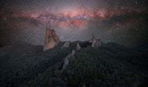

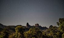


Dark Sky Parks
Warrumbungle National Park is Australia's first Dark Sky Park, renowned for its crystal clear starry skies. Learn more about Dark Sky Parks and why they're special.
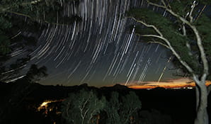
Epic heights and starry nights
The Warrumbungles are an astronomers’ and star lovers’ dream. This Dark Sky Park has zero light pollution, so the volcanic mountain landscapes and starry skies are out of this world.

General enquiries
- National Parks Contact Centre
- 7am to 7pm daily
- 1300 072 757 (13000 PARKS) for the cost of a local call within Australia excluding mobiles
- parks.info@environment.nsw.gov.au
Contact
- in Warrumbungle National Park in the Country NSW region
Warrumbungle National Park is always open but may have to close at times due to poor weather or fire danger.
-
Park entry fees:
$8 per vehicle per day.
Buy annual pass -
-
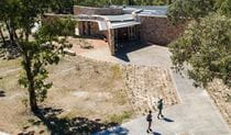
Warrumbungle NP Visitor Information Centre
02 6825 4364
Contact hours: 9am to 4pm daily. Closed Christmas Day. - 4261 John Renshaw Parkway, Warrumbungle NSW 2828
-
Email: warrumbungle.np@environment.nsw.gov.au
-
Warrumbungle NP Visitor Information Centre
In this park:
Things to do (29)
- Aboriginal culture (2)
- Adventure sports (1)
- Birdwatching and wildlife encounters (9)
- Educational activities (1)
- Historic heritage (1)
- Picnics and barbecues (2)
- Road trips and car/bus tours (2)
- Sightseeing (17)
- Swimming (1)
- Visitor centres (1)
- Walking (20)
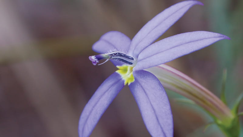
- Wildflowers (seasonal) (10)