Historic Nightcap walking track
North Coast
Overview
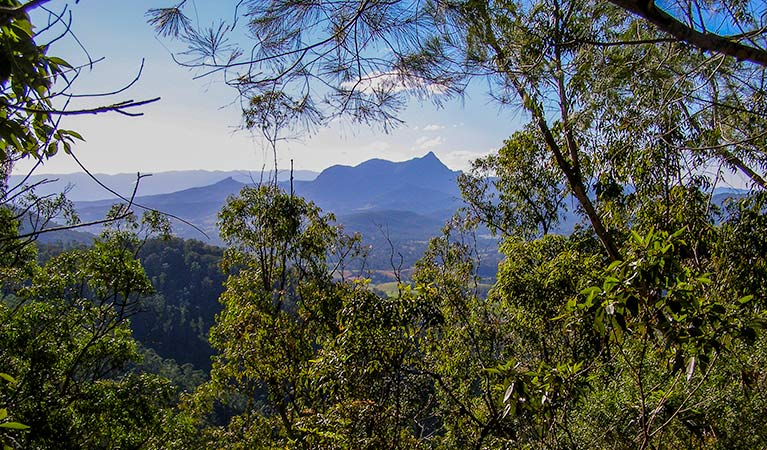

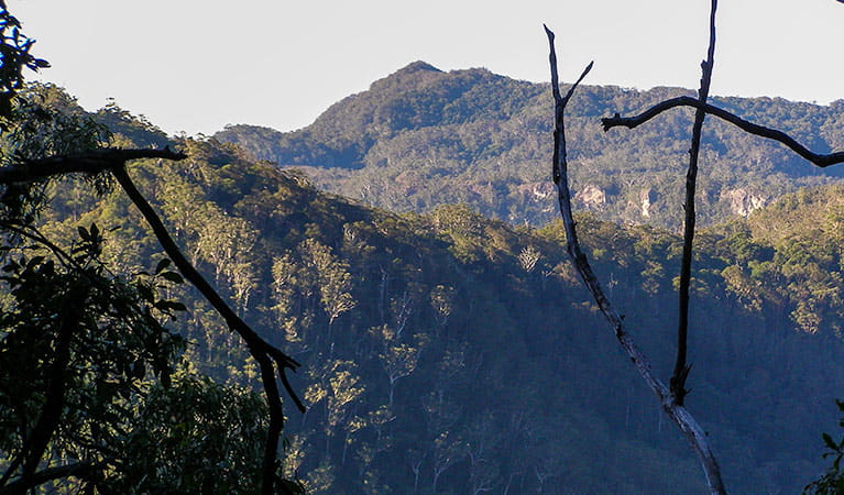
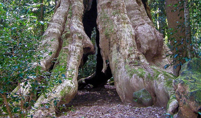
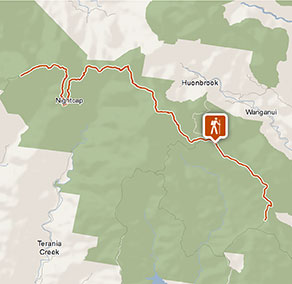
Historic Nightcap walking track leads through World Heritage-listed rainforest, offering scenic views across Nightcap National Park and Whian Whian State Conservation Area, near Byron Bay.
- Distance
- 18km one-way
- Time suggested
- 1 - 2 days
- Grade
- Grade 4
- Trip Intention Form
-
It's a good idea to let someone know where you're going. Fill in a trip intention form to send important details about your trip to your emergency contact.
- Please note
- It’s advisable to contact the local NPWS office when planning an overnight or extended walk to get the best information on the track, weather conditions and possible closures.
- Check the weather before you set out as the road to Historic Nightcap walking track can become boggy when it rains.
- It’s a good idea to bring a topographic map and compass, or a GPS.
- The weather in the area can be extreme and unpredictable, so please ensure you’re well-prepared for your visit.
- This walking track is in a remote location; bring appropriate clothing and equipment, and advise a family member or friend of your travel plans.
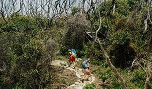
- This walking track is suitable for experienced bushwalkers who are comfortable undertaking self-reliant hiking.
- Groups of 3-5 people are recommended, with at least one experienced bushwalker in the group.
- A Personal Locator Beacon is advisable, but should only be used in a life-threatening situation.
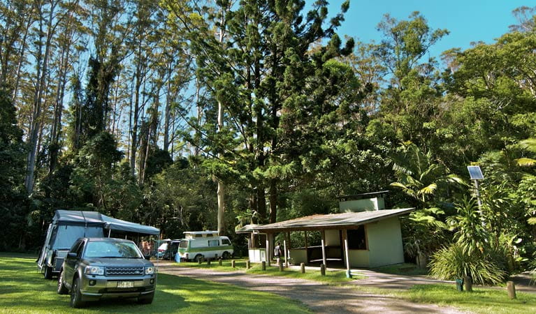
- There are camping facilities at Rummery Park.
- It’s a good idea to pack sunscreen and remember to take a hat.
- You’re encouraged to bring gas or fuel stoves, especially in summer during the fire season.
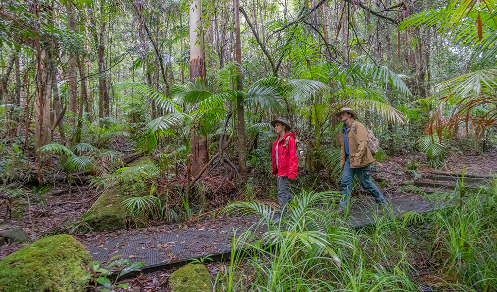
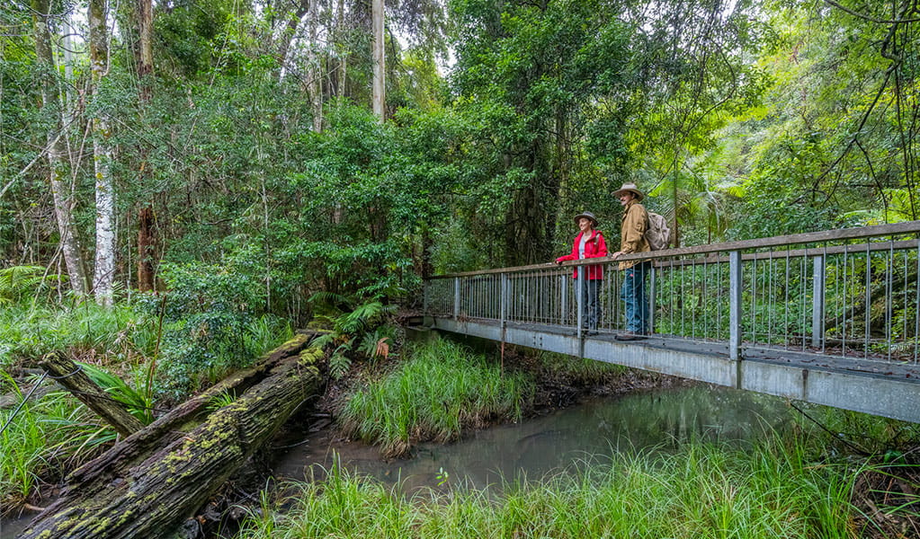
Head along Historic Nightcap walking track to experience a World Heritage rainforest with breathtaking escarpment views across Nightcap National Park. This 18km track is popular with experienced walkers looking for a remote wilderness adventure.
With the option to camp overnight at Rummery Park campground, west to east is the easiest way to take this scenic walk, but you can easily start at either end of the track.
During the 1800s and 1900s, sections of Historic Nightcap walking track were traversed by travellers and postal workers making their way between Lismore and Murwillumbah.
There’s plenty to see along the way, so remember to pack your camera and capture shots of rock orchids brightening the path, and wildlife such as the long-nosed potoroo, brush turkey and Albert’s lyrebird, who call the area home.
Google Street View Trekker
Using Google Street View Trekker, we've captured imagery across a range of NSW national parks and attractions. Get a bird's eye view of these incredible landscapes before setting off on your own adventure.

How to prepare for a multi-day hike
Preparation is key for a safe and enjoyable multi-day walk. If you’re new to overnight hiking, here’s a list of what to consider when planning your epic adventure.
General enquiries
- National Parks Contact Centre
- 7am to 7pm daily
- 1300 072 757 (13000 PARKS) for the cost of a local call within Australia excluding mobiles
- parks.info@environment.nsw.gov.au
Operated by
- Alstonville office
- Monday to Friday, 8:30am to 4:30pm
- 02 6627 0200
- npws.richmondriver@environment.nsw.gov.au
- Russelton Industrial Estate, 7 Northcott Crescent, Alstonville NSW 2477
Park info
- in Whian Whian State Conservation Area in the North Coast region
Whian Whian State Conservation Area is always open but may have to close at times due to poor weather.
- in Nightcap National Park in the North Coast region
Nightcap National Park is always open but may have to close at times due to poor weather, fire danger or management operations.
What's nearby:
Things to do (29)
- Aboriginal culture (1)
- Birdwatching and wildlife encounters (4)
- Cultural heritage (1)
- Cycling (5)
- Historic heritage (2)
- Horse riding (4)
- Picnics and barbecues (4)
- Road trips and car/bus tours (2)
- Sightseeing (8)
- Swimming (3)
- Walking (23)
- Waterfalls (12)
- Wildflowers (seasonal) (1)