Regional native vegetation mapping and classification
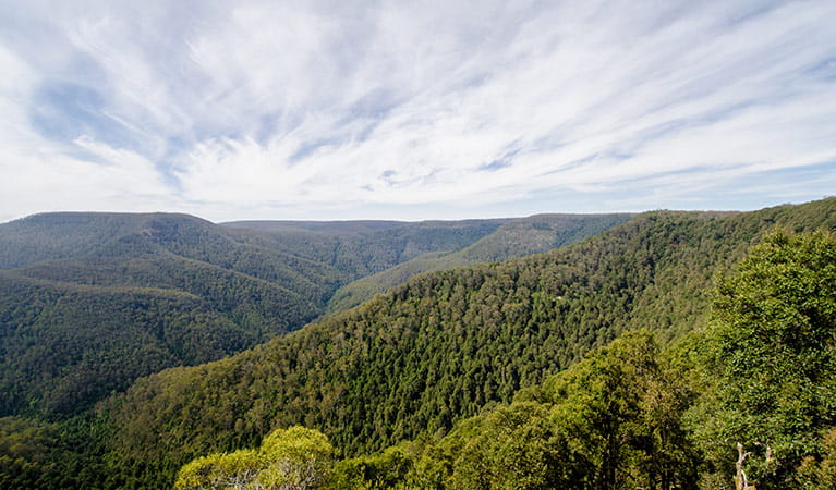
Creating a comprehensive guide to plant biodiversity in NSW, ecologists are conducting vegetation mapping and classification. Through the compilation of data, they are able to determine the baseline state-wide layer of native vegetation. This influences conservation policy and offers valuable insight into how plant life in NSW is changing over time.
Read more about Regional native vegetation mapping and classification
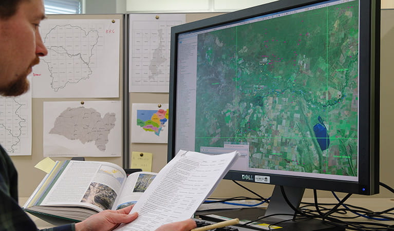
Vegetation mapping requires ecologists to draw on archives, survey site records, personal knowledge, hand-made maps, imagery interpretation, and the government’s Vegetation Information System.
This extensive research helps them to determine Plant Community Types – the base level of vegetation classification - and from there, the higher levels of vegetation classification - Vegetation Class and Vegetation Formation.
A program of annually monitoring the baseline state-wide layer for changes, as well as incorporating refinements from more detailed mapping, provides an evolving picture of the foundational layer of native vegetation in NSW.
Vegetation mapping is an effort to help the wider community, which often needs better or more up-to-date information on plant life ecology.
Mapping also influences conservation policy in government as it provides a visual tool to present vegetation types and conservation priorities to decision makers.
Parks related to this program
- Abercrombie River National Park
- Barrington Tops National Park
- Blue Mountains National Park
- Brisbane Water National Park
- Crowdy Bay National Park
- Dharug National Park
- Ku-ring-gai Chase National Park
- Murray Valley National Park
- Myall Lakes National Park
- Pilliga National Park
- Tomaree National Park
- Wollemi National Park
- Booti Booti National Park
- Brindabella National Park
- Cocoparra National Park
- Deua National Park
- Gardens of Stone National Park
- Kanangra-Boyd National Park
- Watagans National Park
- Werakata National Park
- Willandra National Park
- Woko National Park
- Yengo National Park
- Mount Wilson area