Polblue Falls walk and picnic area
Barrington Tops State Conservation Area
Overview
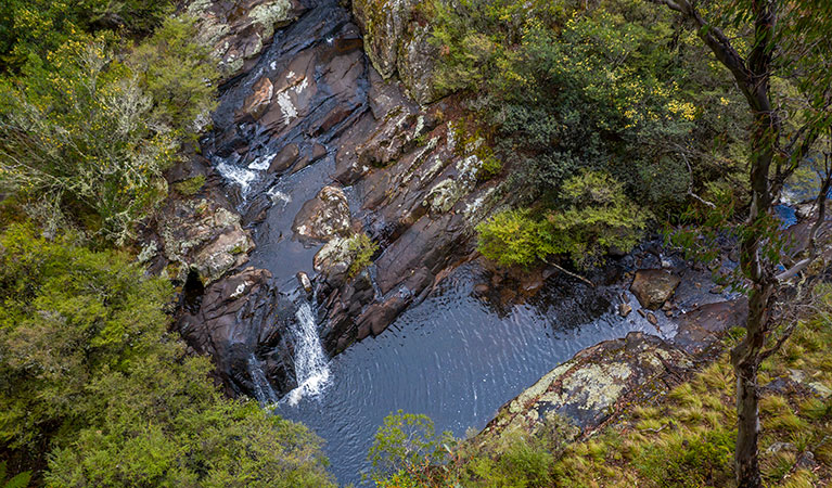
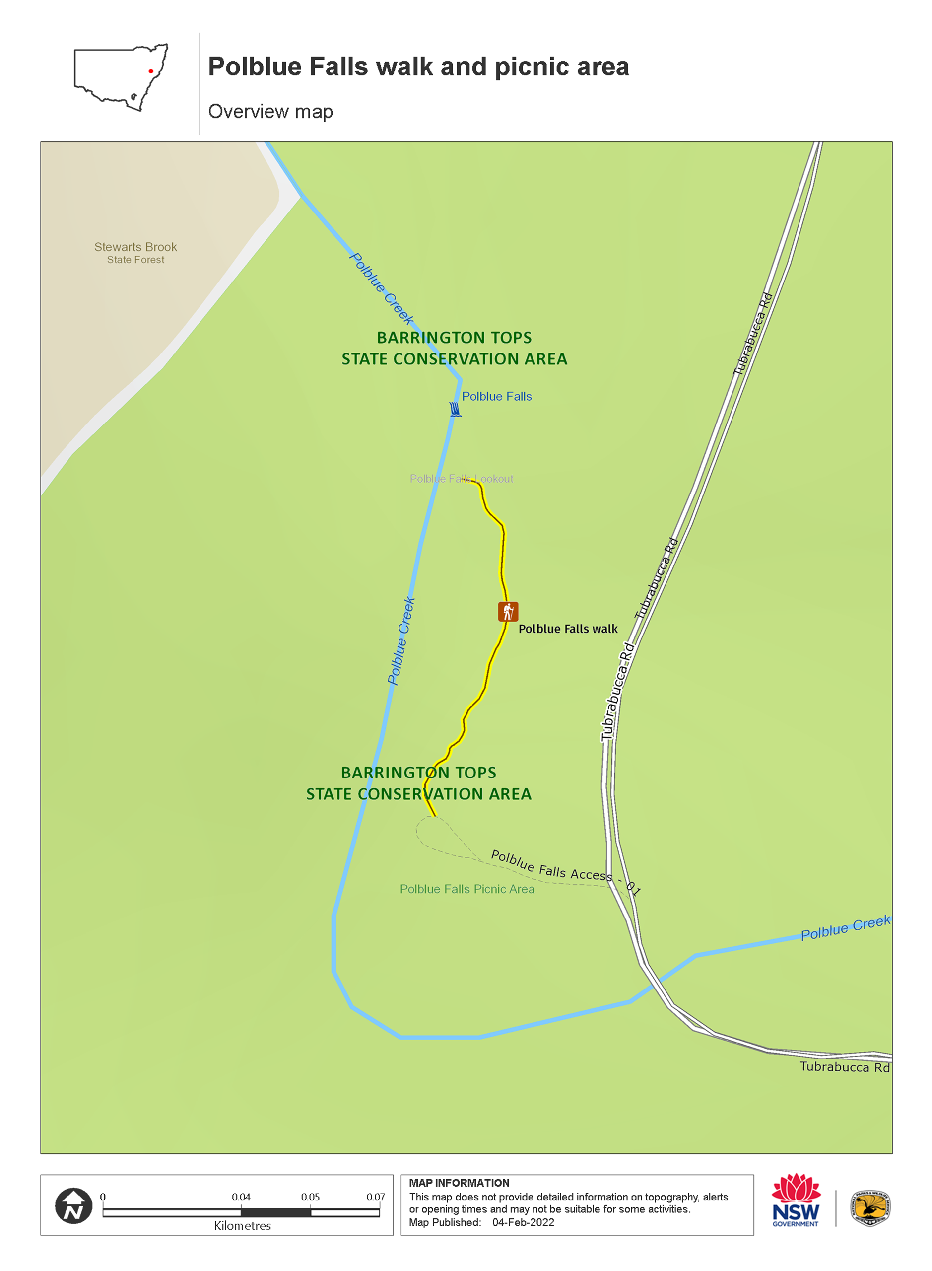
Polblue Falls walk and picnic area sits on the plateau of World Heritage-listed Barrington Tops State Conservation Area, between Scone and Gloucester. The short walk offers views of the largest waterfall in the park.
- Accessibility
- No wheelchair access
- Distance
- 0.4km return
- Time suggested
- 30min
- Grade
- Grade 3
- What to
bring - Hat, sunscreen, sturdy shoes
This short walk is a great option for stretching your legs on a driving tour of Barrington Tops State Conservation Area, or after a hearty lunch at the grassy picnic area. From the picnic area you’ll wind your way along Polblue Creek through subalpine woodland. At the end of the track you’ll be standing at the head of Polblue Falls—the largest accessible falls on the Barrington Tops plateau.
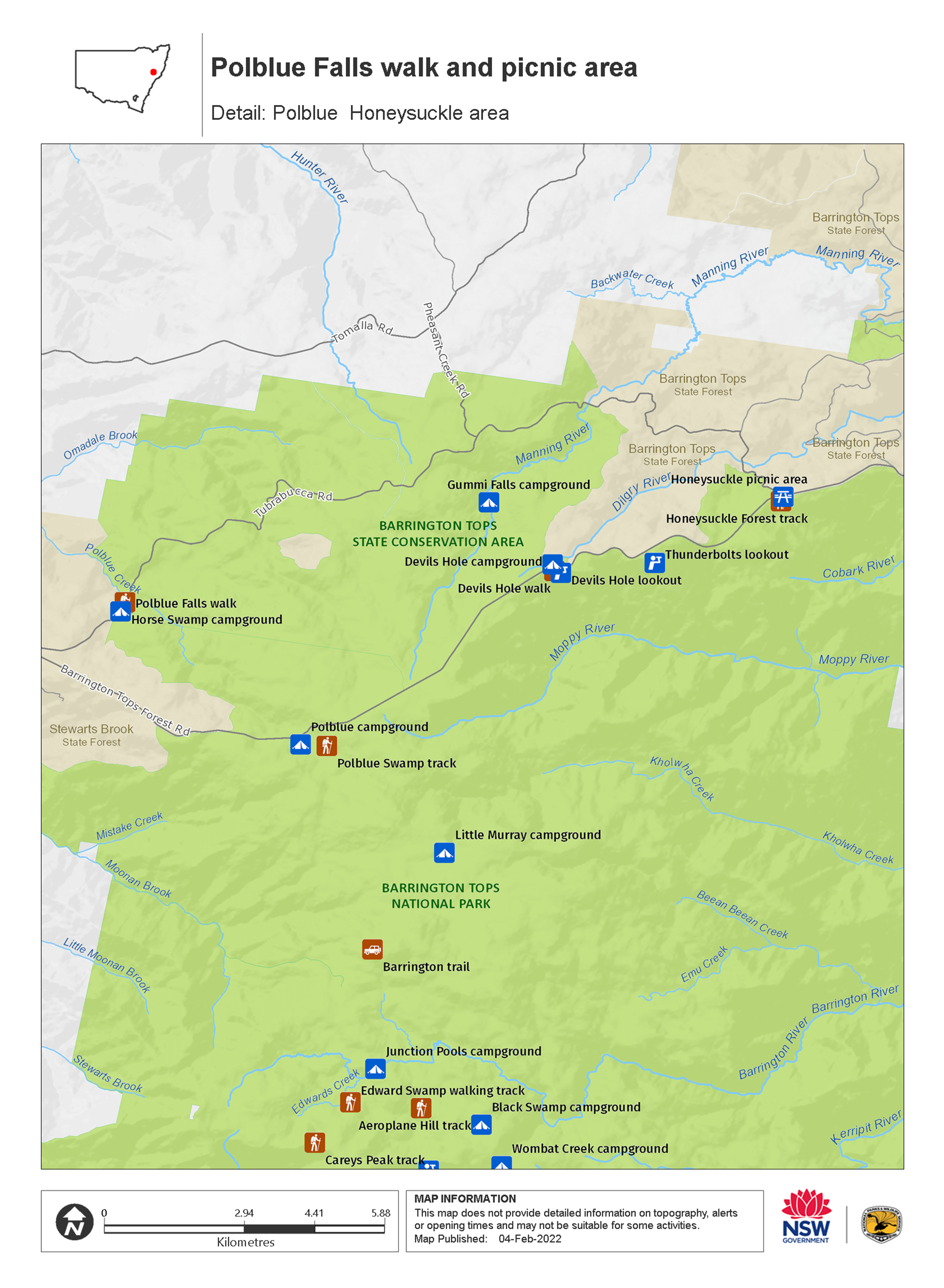
For a rustic camping experience in the fresh mountain air, stay at Horse Swamp campground near Polblue Falls picnic area. It’s a great getaway for families, with barbecue facilities and plenty of wildlife to spot in the surrounding wilderness.
Take your time soaking up the natural wonders of this remote spot, which forms part of the Gondwana Rainforests of Australia World Heritage Area. It’s recognised for its rare and threatened plants and wildlife that are very much like their ancestors in the fossil records. Geological formations in this area were formed millions of years ago, when Australia was part of the ancient supercontinent of Gondwana.
Nearby
-
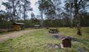
Horse Swamp campground
Horse Swamp campground offers remote, rustic camping with mountain biking and 4WD trails through sub-alpine terrain in Barrington Tops State Conservation Area, between Scone and Gloucester.
Map
Map
Map legend

Local alerts
For the latest updates on fires, closures and other alerts in this area, see https://www.nationalparks.nsw.gov.au/things-to-do/walking-tracks/polblue-falls-walk-and-picnic-area/local-alerts
General enquiries
- National Parks Contact Centre
- 7am to 7pm daily
- 1300 072 757 (13000 PARKS) for the cost of a local call within Australia excluding mobiles
- parks.info@environment.nsw.gov.au
Park info
- in Barrington Tops State Conservation Area in the North Coast and Country NSW regions
Visitor info
All the practical information you need to know about the Polblue Falls walk and picnic area.