4WD Oberon Colong historic stock route
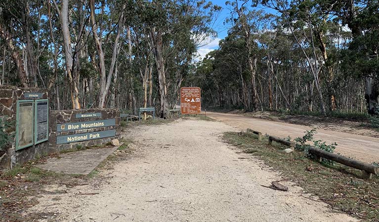
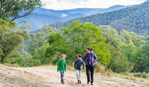
Southern Blue Mountains area in Blue Mountains National Park
Overview
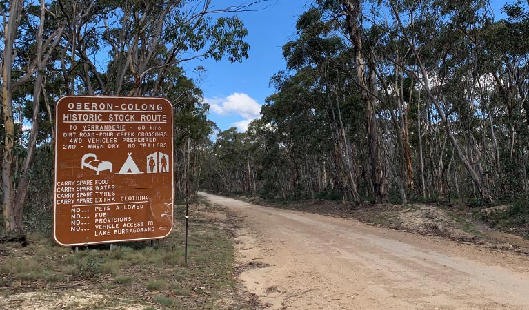
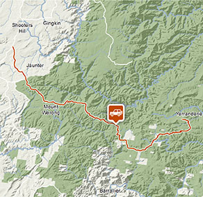
Intrepid 4WD tourers will love the 4WD Oberon Colong historic route. Travel through the wild south of Blue Mountains National Park to a historic mining ghost town in Yerranderie Regional Park.
- Where
- Southern Blue Mountains area in Blue Mountains National Park in Sydney and surrounds, Country NSW
- Accessibility
- No wheelchair access
- Distance
- 63km one-way
- Time suggested
- 2hrs
- Grade
- Medium
- What to
bring - Drinking water, snacks
- Please note
- No fuel, water or food is available along this route, so please be well-prepared.
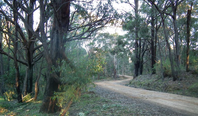
The 4WD Oberon Colong historic route (Mount Werong Road) is an adventurous drive through the remote Southern Blue Mountains area, near Oberon. The unsealed trail takes you deep into the wilderness of Blue Mountains National Park, to reach a forgotten ghost town in Yerranderie Regional Park.
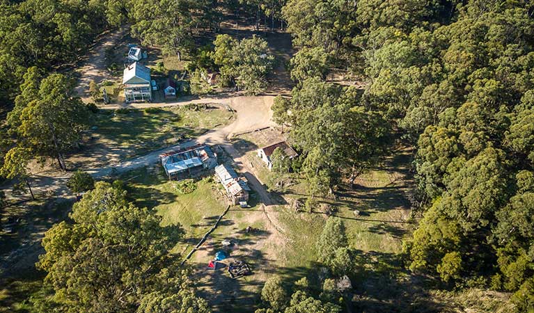
The route follows slopes that plunge down to Wollondilly River to the south and Kowmung River to the north, offering tantalising glimpses of the rugged Kanangra-Boyd wilderness. Stop at Mount Werong campground along the way, and stretch your legs on a walk to historic Ruby Creek mine. Continue on your spectacular drive, dipping and weaving along the crest of the Murruin Range to Yerranderie Private Town, a carefully preserved silver mining town where you can stay overnight.
Keep your eyes peeled for kangaroos, wallabies, wombats and maybe even a shy echidna as you make your way along the route. If you’re a keen birdwatcher, be sure to look out for the gorgeous forest flocks of rainbow lorikeets and sulphur-crested cockatoos in spring and summer. At night, you might hear the cries of the powerful and sooty owls.
Take a virtual tour of 4WD Oberon Colong historic stock route captured with Google Street View Trekker.
Nearby
-
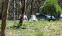
Mount Werong campground
Mount Werong campground is a great base to explore the mountain bike trails, bushwalks, and historic heritage in the remote south of Blue Mountains National Park, near Oberon.
-
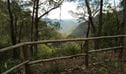
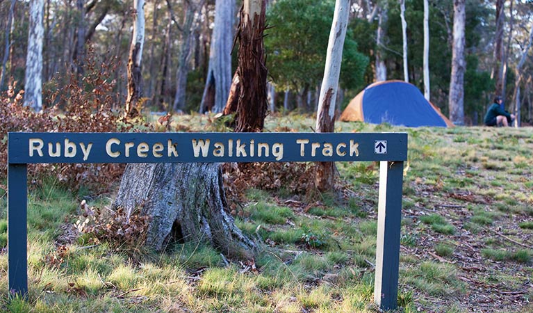
Ruby Creek walking track
Ruby Creek walking track is an easy return walk from Mount Werong campground. It offers mining heritage and waterfall views in the remote Southern Blue Mountains area, near Oberon.
Google Street View Trekker
Using Google Street View Trekker, we've captured imagery across a range of NSW national parks and attractions. Get a bird's eye view of these incredible landscapes before setting off on your own adventure.

Park:
Southern Blue Mountains area
The Southern Blue Mountains area near Oberon is a hidden corner of Blue Mountains National Park. Get off the beaten track and explore remote campgrounds, wilderness walks and 4WD routes. Nearby, Yerranderie historic mining town is a highlight.
Operated by
- Oberon office
- Monday to Friday, 9am to 4.30pm.
- 02 6336 6200
- npws.kanangra@environment.nsw.gov.au
- 38 Ross Street, Oberon NSW 2787
Park info
- in the Southern Blue Mountains area of Blue Mountains National Park in the Sydney and surrounds and Country NSW regions
Southern Blue Mountains area is always open but some locations may close at times due to poor weather or fire danger.
What's nearby:
Things to do (106)
- 4WD touring (3)
- Aboriginal culture (8)
- Adventure sports (2)
- Birdwatching and wildlife encounters (16)
- Cafes and kiosks (2)
- Cycling (7)
- Environmental appreciation/study (2)
- Historic heritage (10)
- Other experiences (8)
- Photography (2)
- Picnics and barbecues (9)
- Road trips and car/bus tours (2)
- Show cave tours (10)
- Sightseeing (53)
- Swimming (2)
- Walking (56)
- Waterfalls (31)
- Wildflowers (seasonal) (1)