Ingar campground
Katoomba area in Blue Mountains National Park
Overview
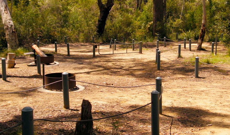
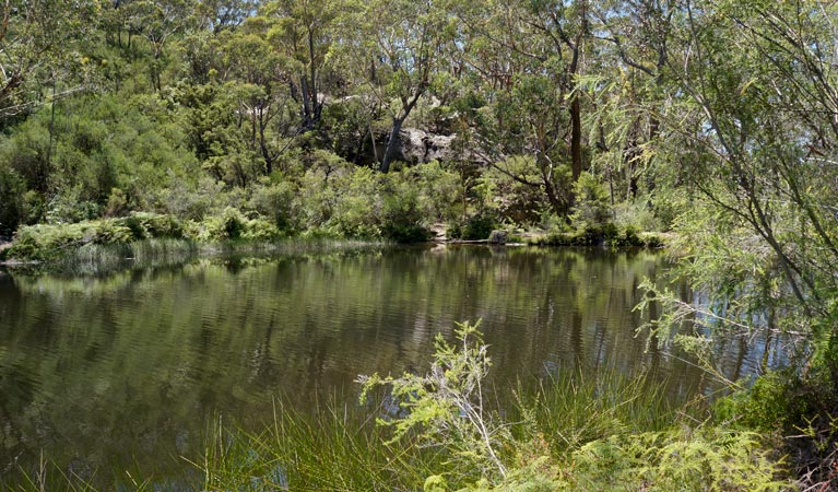
Ingar campground is a great stop on your walking or cycling adventure between Wentworth Falls and Woodford. Picnic, swim in the creek, or camp overnight in this secluded Blue Mountains spot.
| Number of campsites | 8 |
|---|---|
| Camping type | Tent, Remote/backpack camping |
| Facilities | Picnic tables, barbecue facilities, carpark, toilets |
| What to bring | Drinking water, cooking water, firewood |
| Price | There are no camping fees at this campground but a $6 booking fee applies. |
| Bookings | Bookings for up to 2 sites and 12 people can be made online. |
| Group bookings | This campground is not suitable for group bookings. |
| Please note |
|
Soothe those frazzled city nerves with a getaway to Ingar campground on Kings Tableland, near Wentworth Falls.
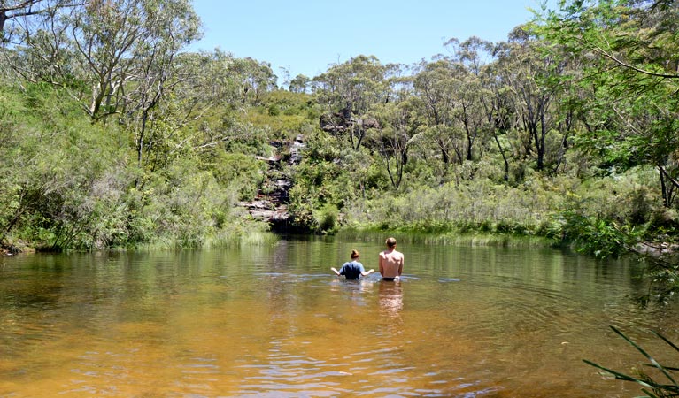
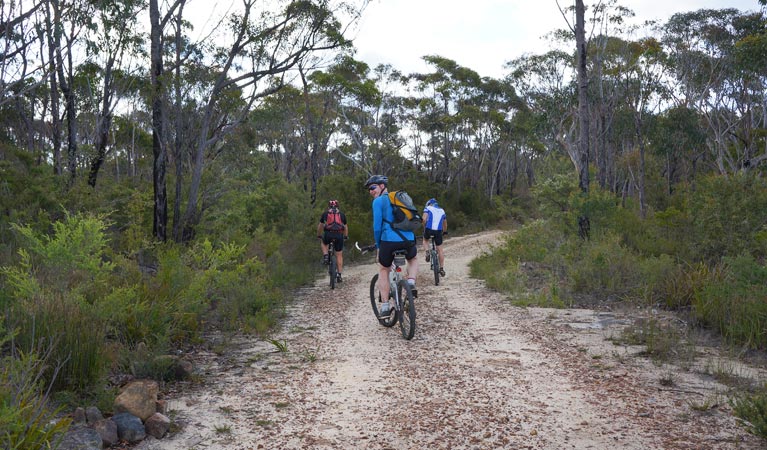
This is a popular stop for walkers and mountain biker riders following the Wentworth Falls to Woodford trail, and is easily combined with Andersons trail. The nearby dam on Ingar Creek is perfect for swimming, paddling and liloing. If you’re lucky, there might be an eastern water dragon sunning itself on the creek bank.
After a barbecue dinner, get out the torch and look for the local nightlife. You might see sugar gliders, possums and bandicoots. Then it’s time to toast marshmallows over your campfire before settling, exhausted but happy, into your tent.
Take a virtual tour of Ingar campground captured with Google Street View Trekker.
Google Street View Trekker
Using Google Street View Trekker, we've captured imagery across a range of NSW national parks and attractions. Get a bird's eye view of these incredible landscapes before setting off on your own adventure.

Conservation program:
Bush Trackers
Bush Trackers was created to encourage children to engage with the environment in and around the Greater Blue Mountains World Heritage area. This program highlights the natural and cultural splendour of the greater Blue Mountains through education initiatives and bushwalks.
Bookings
- National Parks Contact Centre
- 7am to 7pm daily
- 1300 072 757 (13000 PARKS) for the cost of a local call within Australia excluding mobiles
- parks.info@environment.nsw.gov.au
Operated by
- Blue Mountains Heritage Centre and Blackheath office
- 9am to 4.30pm daily. Closed Christmas Day.
- 02 4787 8877
- bluemountains.heritagecentre@environment.nsw.gov.au
- 270 Govetts Leap Road, Blackheath NSW 2785
Park info
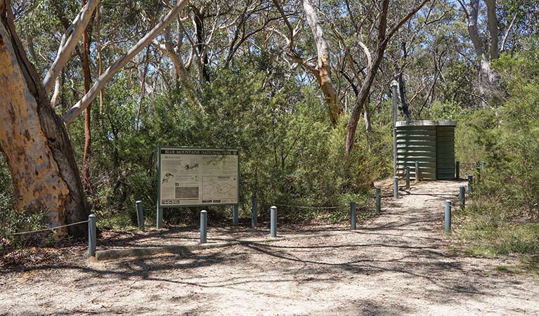
- in the Katoomba area of Blue Mountains National Park in the Sydney and surrounds region
Katoomba area is always open but some locations may close at times due to maintenance, poor weather or fire danger.
What's nearby:
Things to do (146)
- 4WD touring (3)
- Aboriginal culture (9)
- Adventure sports (13)
- Birdwatching and wildlife encounters (16)
- Cafes and kiosks (2)
- Canoeing/paddling (2)
- Cultural heritage (1)
- Cycling (12)
- Environmental appreciation/study (2)
- Fishing (1)
- Historic heritage (12)
- Other experiences (9)
- Photography (3)
- Picnics and barbecues (19)
- Road trips and car/bus tours (3)
- Sightseeing (81)
- Swimming (8)
- Visitor centres (1)
- Walking (84)
- Waterfalls (44)
- Wildflowers (seasonal) (9)