Nattai National Park
Visitor info
All the practical information you need to know about Nattai National Park.
Getting there and parking
From Thirlmere Lakes National Park:
- Vehicle access points are located at Wollondilly lookout off Wombeyan Caves Road (follow Wombeyan Caves Road from Mittagong heading west for approx 30km) and off Wattle Ridge Road (turn off Wilson Drive at Hill Top onto Coates Road then Wattle Ridge Road and follow for approx 7km).
From Mittagong:
- Go south on Old Hume Highway for 5.6km and then onto Hume Highway/State Route 31.
- After 1.6 km, take the exit towards Cole Vale, then the first exit onto Church Avenue.
- After 5,8km, turn left towards West Parade, and then right onto West Parade.
- Keep going onto Wattle Ridge Road and after 7.5km, take a slight left onto Natai Road. After 10km, you’ll reach Nattai National Park.
From Picton:
- Take Rememberance Driveway/State Route 89, turn right onto Bango River after 9.3km, and then left onto West Parade. Keep going on Wilson Drive before turning right onto Coates Road and then take the second right onto Wattel Ridge Road. Natta National Park is 10km along NattaI Road.
Parking
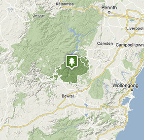
- Wollondilly lookout See on map
By bike
Check out the Bicycle information for NSW website for more information.
By public transport
Nattai National Park is not accessible by public transportation.
Best times to visit
There are lots of great things waiting for you in Nattai National Park. Here are some of the highlights.
Autumn
Mild weather and misty mornings; a great time to explore some of the longer hikes in the park, including Starlight's trail and Couridjah Corridor walk.
Spring
Enjoy the incredible array of wildflowers that cover the ground in the rainforests and the mild weather.
Summer
Swim or canoe in the lakes and rivers.
Weather, temperature and rainfall
Summer temperature
Average
22°C and 27°C
Highest recorded
42.8°C
Winter temperature
Average
12°C and 15°C
Lowest recorded
-10° C
Rainfall
Wettest month
March
Driest month
September
The area’s highest recorded rainfall in one day
247.4mm
Facilities
Maps and downloads
Prohibited
Pets
Pets and domestic animals (other than certified assistance animals) are not permitted. Find out which regional parks allow dog walking and see the pets in parks policy for more information.
Smoking
NSW national parks are no smoking areas.
Contact
- in the Sydney and surrounds and Country NSW regions
Nattai National Park is always open but may have to close at times due to poor weather or fire danger.
-
-
Glenbrook office
02 4632 4500 Infoline
Contact hours: Entry station is only open on weekends, public holidays and school holidays. - 68 Bruce Road, Glenbrook NSW 2773
-
Email: npws.hawkesburynattai@environment.nsw.gov.au
-
Glenbrook office
Nearby towns
Mittagong (35 km)
Mittagong has a fine collection of sandstone buildings dating from the early years of European settlement in the mid-19th century. Stroll along Main and Victoria streets to see fine country homes, delightful gardens and specialty shops.
Bowral (39 km)
Spring is tulip time while summer has fragrant roses and autumn, flowering bulbs. Bowral Tulip Festival runs from the end of September until early October; the Autumn Garden Festival is held in May.
Picton (42 km)
Discover Picton's fine heritage architecture on a self-guided walking tour or visit historic Tahmoor House (limited open days). Enjoy a traditionally-brewed beer at George 4th Inn, opened in 1839 for travellers along the Great South Road.