Tapin Tops National Park
Visitor info
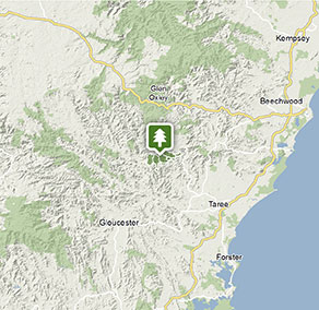
All the practical information you need to know about Tapin Tops National Park.
Getting there and parking
Get driving directions
From: Wingham
- Take Elands Road and Wherrol Flat Road to Wherrol Flat
- At Wherrol Flat, turn left onto Dingo Tops Road.
- Follow Dingo Tops Road to Tapin Tops National Park
Park entry points
- Dingo Tops access See on map
- Potaroo Falls access See on map
- Potaroo Forest Road access See on map
- Rowleys Peak access See on map
Parking
- Dingo Tops campground See on map
- Potoroo Falls picnic area See on map
By bike
Check out the Bicycle information for NSW website for more information.
Best times to visit
There are lots of great things waiting for you in Tapin Tops National Park. Here are some of the highlights.
Autumn
The autumn colours in Dingo Tops campground are nothing short of spectacular in autumn, making it a perfect spot for a picnic or a stroll on a crisp, clear day.
Spring
Enjoy the fresh young growth and newborn animals on walks to the spectacular Rowleys Rock lookout with its panoramic views, or wandering through the rainforest along Potaroo Falls walk or Mountain Brush circuit.
Summer
Escape the heat and humidity of the coast and go swimming at the lovely Potoroo Falls, or enjoy the fresh mountain air at Dingo Tops campground.
Weather, temperature and rainfall
Summer temperature
Average
18°C and 30°C
Highest recorded
42.2°C
Winter temperature
Average
7°C and 23°C
Lowest recorded
-5.1°C
Rainfall
Wettest month
January
Driest month
July
The area’s highest recorded rainfall in one day
234.6mm
Facilities
Amenities
Toilets
Picnic tables
Barbecue facilities
Maps and downloads
Prohibited
Pets
Pets and domestic animals (other than certified assistance animals) are not permitted. Find out which regional parks allow dog walking and see the pets in parks policy for more information.
Smoking
NSW national parks are no smoking areas.
Contact
- in the North Coast region
Tapin Tops National Park is always open but may have to close at times due to poor weather or fire danger.
-
-
Taree office
02 6552 4097
Contact hours: Monday to Friday, 9am to 4.30pm. - 78 Hargreaves Drive, Taree NSW 2430
-
Email: npws.manninggreatlakes@environment.nsw.gov.au
-
Taree office
Nearby towns
Wingham (35 km)
A short stroll from the centre of Wingham is Wingham Brush Nature Reserve. Here you'll see a major colony of grey-headed flying foxes hanging head-down in the canopies of 1000-year-old Moreton Bay and strangler figs.
Taree (47 km)
Taree is a major mid North Coast city, ringed by superb beaches. It's situated on the Manning River and set against rolling hills.
Gloucester (98 km)
Famous for gold deposits and the bushranger Captain Thunderbolt, Gloucester is located in the north Hunter region, east of Barrington Tops. The nearby state forests and national parks are ideal for walking, camping and outdoor adventure sports.