Nepean River walking track
Glenbrook area in Blue Mountains National Park
Overview
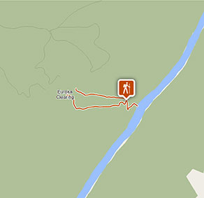
A family-friendly medium difficulty walking track, Nepean River walk offers wildlife, swimming and picnicking in Blue Mountains National Park, near Glenbrook.
- Distance
- 1.8km loop
- Time suggested
- 30 - 45min
- Grade
- Grade 3
- Trip Intention Form
-
It's a good idea to let someone know where you're going. Fill in a trip intention form to send important details about your trip to your emergency contact.
- Personal Locator Beacon
-
Hire a Personal Locator Beacon (PLB) for free at Blue Mountains Heritage Centre in Blackheath.
- Entry fees
- Park entry fees apply
- Opening times
If you’re driving into the Glenbrook area, the gates are open:
- First Sunday in October to first Sunday in April 8.30am to 7pm
- Rest of year 8.30am to 6pm
- What to
bring - Drinking water, hat, sunscreen, topographic map, gps, compass
- Please note
- After heavy rain, Glenbrook Causeway may be closed. Contact Richmond office to check.
- Check the weather before you set out and ensure you're well prepared. Weather can be unpredictable and extreme in this area and the track can become boggy when it rains.
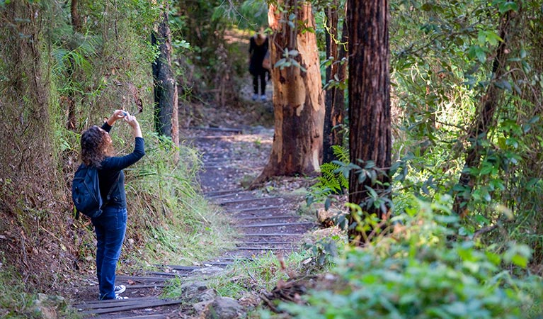
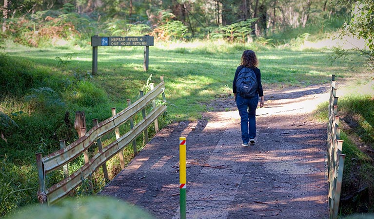
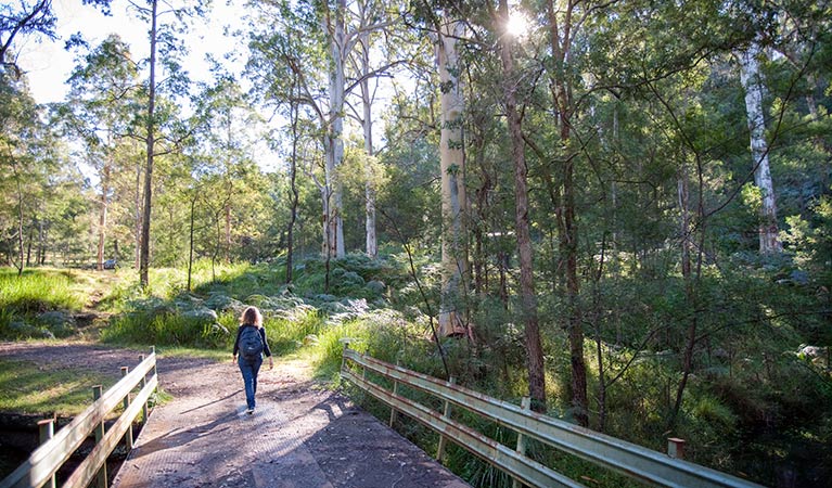
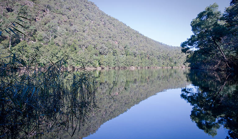
An enchanting walk through delightful woodlands and rainforest in the eastern reaches of Blue Mountains National Park. Starting from the Darug area in Euroka campground, the medium difficulty Nepean River walk offers a great introduction to the wonders of nature for families with some bushwalking experience.
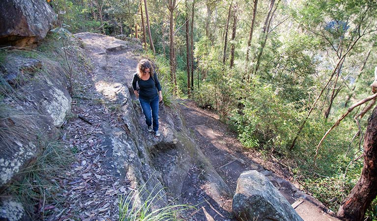
From the grassy clearing, the track leads east through a narrow canyon where the sheer walls create a rainforest hothouse for lush ferns with towering lilli-pilli and coachwood. The track descends steeply with some obstacles into Fairlight Gorge before arriving at the river, where you might see water dragons sunning themselves along the banks. In spring the wildflowers blanket the surrounds with a dazzling display of scent and colour.
Adventurers might be tempted with a swim before enjoying a leisurely riverside picnic. Eat up as you’ll need some energy for the steep climb out before joining Bennets Ridge walking track.
Take a virtual tour of Nepean River walking track captured with Google Street View Trekker.
Google Street View Trekker
Using Google Street View Trekker, we've captured imagery across a range of NSW national parks and attractions. Get a bird's eye view of these incredible landscapes before setting off on your own adventure.

Conservation program:
Bush Trackers
Bush Trackers was created to encourage children to engage with the environment in and around the Greater Blue Mountains World Heritage area. This program highlights the natural and cultural splendour of the greater Blue Mountains through education initiatives and bushwalks.
General enquiries
- National Parks Contact Centre
- 7am to 7pm daily
- 1300 072 757 (13000 PARKS) for the cost of a local call within Australia excluding mobiles
- parks.info@environment.nsw.gov.au
Park info
- in the Glenbrook area of Blue Mountains National Park in the Sydney and surrounds region
- From the first Sunday in October to the first Sunday in April: park gates are open 8.30am to 7pm.
- Rest of the year: park gates are open 8.30am to 6pm.
-
$8 per vehicle per day applies at the Bruce Road entrance to the Glenbrook area. You can also pay for your visit via the Park’nPay app.
Buy annual pass
What's nearby:
Things to do (20)
- Aboriginal culture (2)
- Birdwatching and wildlife encounters (4)
- Cultural heritage (1)
- Cycling (1)
- Environmental appreciation/study (2)
- Historic heritage (3)
- Other experiences (2)
- Picnics and barbecues (2)
- Road trips and car/bus tours (1)
- Sightseeing (7)
- Swimming (4)
- Walking (10)
- Waterfalls (1)