The Falls Water Falls
Mullion Range State Conservation Area
Visitor info
All the practical information you need to know about The Falls Water Falls.
Getting there and parking
Get driving directions
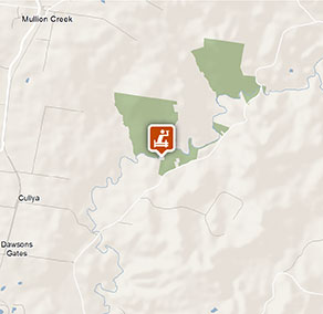
The Falls Water Falls is in the southern section of Mullion Range State Conservation Area. To get there:
- From Orange, travel north-east along Ophir Road for approximately 17km
- Central Mines trail carpark is located on the left
- From the carpark follow Central Mines trail for approximately 800m to The Falls Water Falls.
- The water falls are not signposted so you may require a topographic map and compass, or a GPS to find the falls from the trail.
Road quality
- Sealed roads
Vehicle access
- 2WD vehicles
Weather restrictions
- All weather
Parking
Parking is available on Ophir Road at Central Mines trail carpark.
Best times to visit
There are lots of great things waiting for you at Mullion Range State Conservation Area. Here are some of the highlights.
Autumn
The cooler months are a great time for enjoying bushwalks, birdwatching and 4WD touring in the area.
Spring
Relax and dine al fresco surrounded by blooming wildflowers at Fourth Crossing picnic area.
Summer
Cool off with a splash in the creek or go trout fishing when the weather gets steamy.
Winter
The Falls Water Falls is particularly striking when there are high levels of water in Summer Hill Creek following heavy rainfall.
Weather, temperature and rainfall
Summer temperature
Average
12°C and 28°C
Highest recorded
38.3°C
Winter temperature
Average
2°C and 13°C
Lowest recorded
-5.6°C
Rainfall
Wettest month
August
Driest month
April
The area’s highest recorded rainfall in one day
98.6mm
Facilities
Toilets are located at Fourth Crossing picnic area, 2km north along Ophir Road.
Maps and downloads
Permitted
Fishing
A current NSW recreational fishing licence is required when fishing in all waters.
Prohibited
Gathering firewood
Firewood may not be collected from the park.
Pets
Pets and domestic animals (other than certified assistance animals) are not permitted. Find out which regional parks allow dog walking and see the pets in parks policy for more information.
Smoking
NSW national parks are no smoking areas.
Operated by
- Bathurst office
- Monday to Friday, 8.30am to 4.30pm.
- 02 6332 7640
- 02 6332 7680 To contact the KARST Conservation Unit in this office.
- npws.centralwest@environment.nsw.gov.au
- Level 2, 203-209 Russell Street, Bathurst NSW 2795
Park info
- in Mullion Range State Conservation Area in the Country NSW region
Mullion Range State Conservation Area is always open but may have to close at times due to poor weather or fire danger.