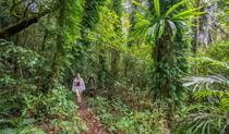
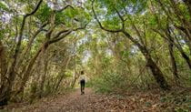
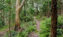
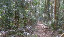
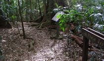
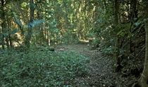
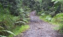
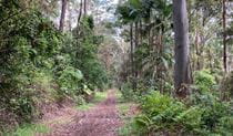
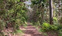
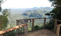
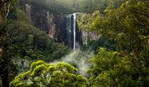
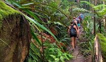
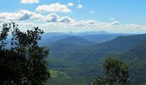
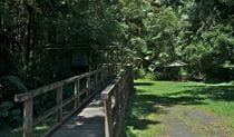
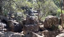
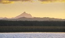
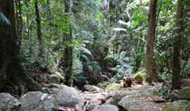
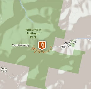
Wollumbin (Mount Warning) summit track
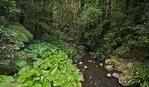
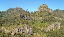
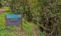
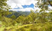
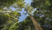
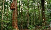
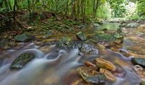
Wollumbin National Park
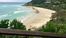
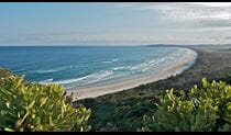
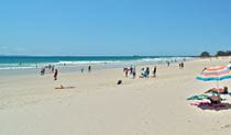
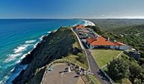
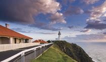
What's nearby
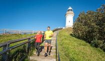
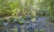
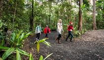
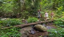
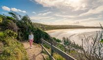
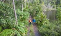
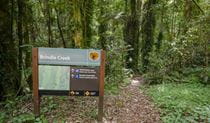
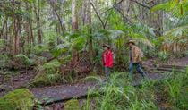
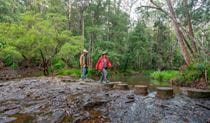
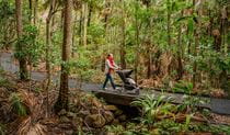
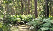
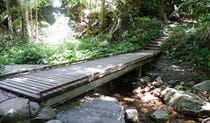
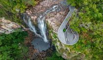
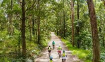
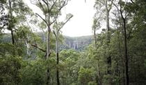
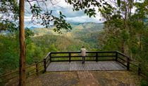
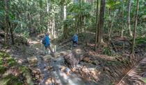
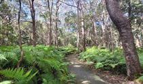
Nearby walking tracks
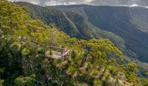

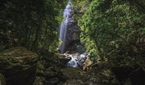
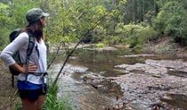

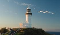
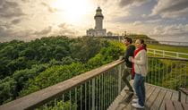
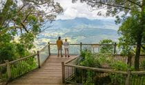
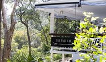
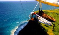
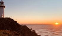
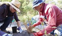
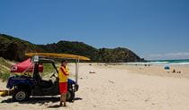
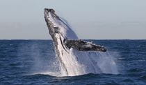
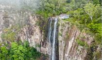
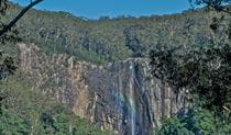
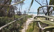
Nearby things to do

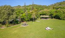
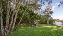
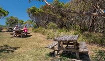
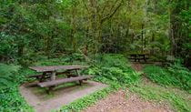


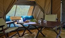


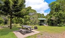
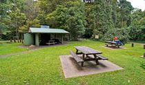

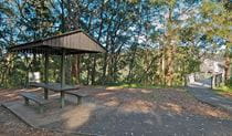
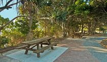
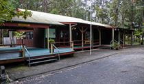
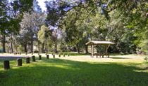
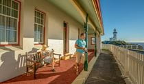
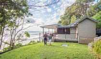
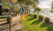
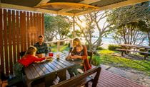
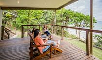
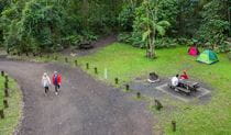
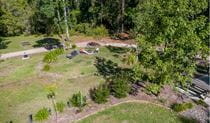
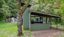
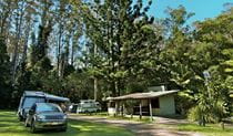
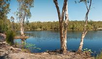
Nearby camping and accommodation
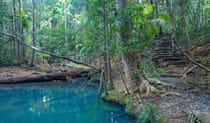
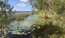
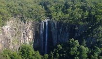
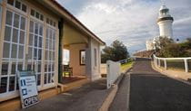
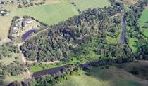
Nearby parks
Google Street View Trekker
Using Google Street View Trekker, we've captured imagery across a range of NSW national parks and attractions. Get a bird's eye view of these incredible landscapes before setting off on your own adventure.

Park info
- in Wollumbin National Park in the North Coast region
Wollumbin National Park is open, but may have to close at times due to perceived risk. The gate on Mount Warning Road entrance may also be closed from 5pm in winter and 6pm in summer (during daylight savings) and will reopen at 7am the following morning.