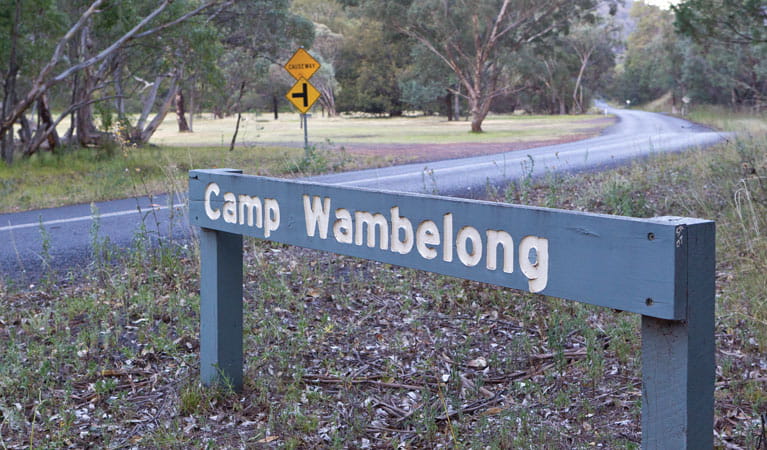
Camp Wambelong
Warrumbungle National Park
Overview
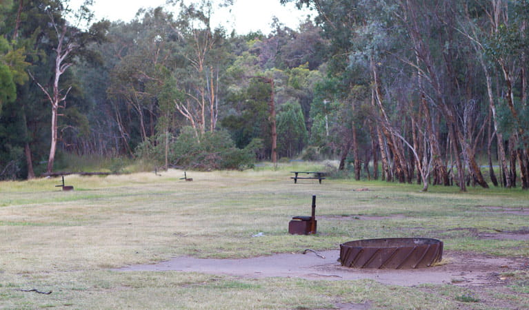
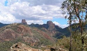
Camp Wambelong is a peaceful campground offering spectacular views of Belougery Split Rock and an access point to many great walking tracks.
| Number of campsites | 35 |
|---|---|
| Camping type | Tent, Camper trailer site, Caravan site, Camping beside my vehicle |
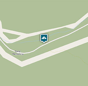
| Where | 4001 John Renshaw Parkway, Warrumbungle, NSW, 2828 - in Warrumbungle National Park |
| Facilities | Picnic tables, barbecue facilities, toilets |
| What to bring | Firewood |
| Entry fees | Park entry fees apply |
| Group bookings | Bookings for up to 9 sites and 40 people can be made online. School groups and commercial tour operators can submit a group booking enquiry form. |
| Please note |
|
Set on the banks of the tranquil Wambelong Creek with spectacular views of Belougery Split Rock, Camp Wambelong is the perfect spot to unwind and immerse yourself in nature. It's an ideal base for you to explore the network of walking and bike riding trails of the Warrumbungles.
With three walking tracks starting right here, you’ll be spoilt for choice. Pack a backpack and head off to enjoy the sights along Belougery Split Rock circuit, Burbie Canyon walking track, or Mount Exmouth walking track.
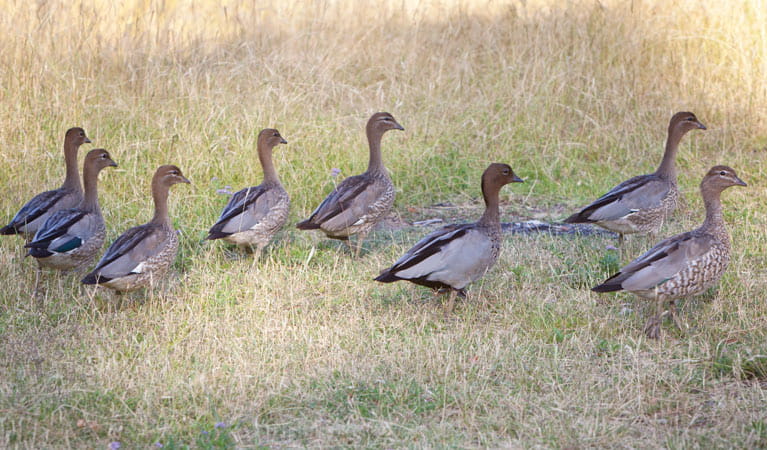
Or simply sit back and enjoy the tranquillity of this remote camping spot. Keep your eyes out for a group of passing kangaroos or wallabies and listen carefully for the sounds of pobblebonk frogs set amongst the chorus of birdsong. You could even try your luck fishing or yabbying in the nearby creek.
Take a virtual tour of Camp Wambelong captured with Google Street View Trekker.
Google Street View Trekker
Using Google Street View Trekker, we've captured imagery across a range of NSW national parks and attractions. Get a bird's eye view of these incredible landscapes before setting off on your own adventure.

Conservation program:
Warrumbungle National Park bushfire recovery program
The 2013 bushfires were the largest and most intense on record for Warrumbungle National Park. Almost 90 per cent of the park was burnt, but conservation programs and research have helped us better understand the impact of fire and how the park has recovered.
Bookings
- National Parks Contact Centre
- 7am to 7pm daily
- 1300 072 757 (13000 PARKS) for the cost of a local call within Australia excluding mobiles
- parks.info@environment.nsw.gov.au
Operated by
- Warrumbungle NP Visitor Information Centre
- 9am to 4pm daily. Closed Christmas Day.
- 02 6825 4364
- warrumbungle.np@environment.nsw.gov.au
- 4261 John Renshaw Parkway, Warrumbungle NSW 2828
Park info
- in Warrumbungle National Park in the Country NSW region
Warrumbungle National Park is always open but may have to close at times due to poor weather or fire danger.
-
Park entry fees:
$8 per vehicle per day.
Buy annual pass
What's nearby:
Things to do (27)
- Aboriginal culture (1)
- Adventure sports (1)
- Birdwatching and wildlife encounters (9)
- Cultural heritage (1)
- Educational activities (1)
- Historic heritage (1)
- Other experiences (1)
- Picnics and barbecues (3)
- Road trips and car/bus tours (2)
- Sightseeing (17)
- Swimming (1)
- Visitor centres (1)
- Walking (19)
- Wildflowers (seasonal) (10)